Rudolph Libbe required a comprehensive subsurface map and 3D model of a northwest Ohio medical center to plan for its expansion. “No one has gone to this extent to map a site above and below ground,” said Jaime Althauser, Field Support Director at GPRS. It was...
CAD Maps Were Delivered Weekly for 2D Construction Coordination Task: A $1.5 billion site expansion was planned for an Ohio auto manufacturing facility to facilitate production of electric (EV) vehicles. A top construction company was hired as the general contractor...
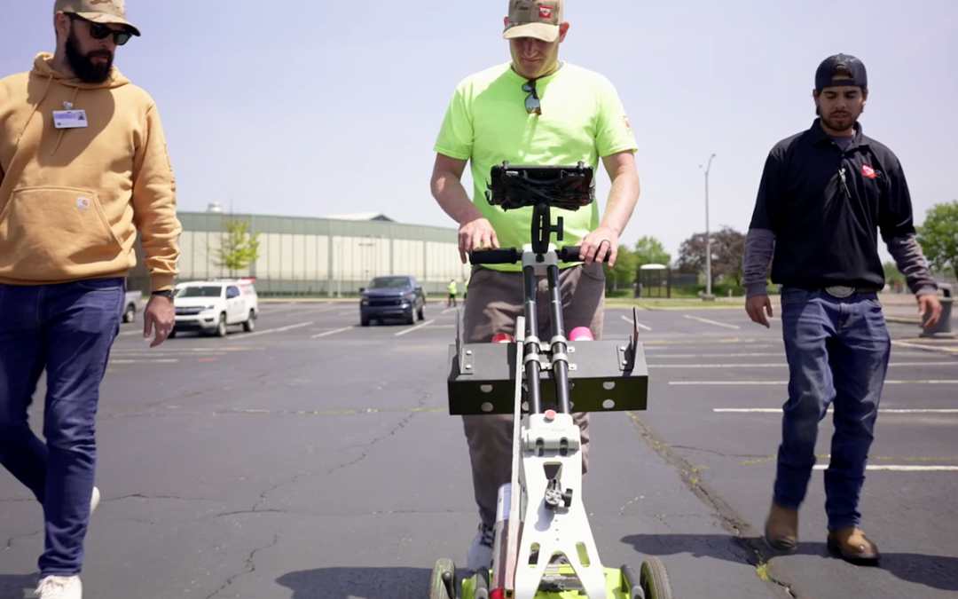
 GPRS is providing our 99.8% accurate utility locating and mapping to UToledo’s campus in exchange for field training for our Project Managers GPRS Project Managers locate & map utilities at The University of Toledo as part of their training. While the GPRS Academy...
2D Utility Locate Map, 3D BIM Model, and CSM of Gas Station Gas Stations May Be Leaking Underground Soil and groundwater contamination due to leaking underground storage tanks (LUSTs) is currently one of the major environmental problems in the world. Every gas...

