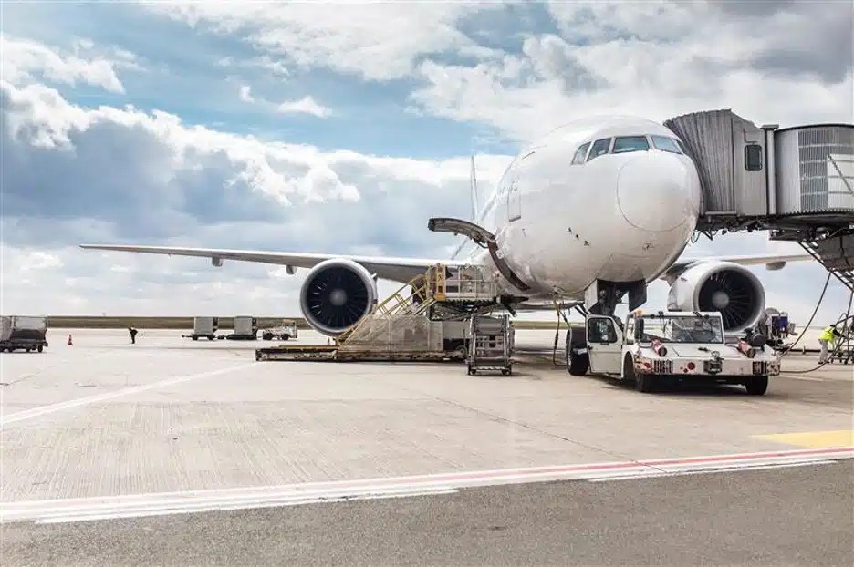
A utility strike recently led to a scary situation that was thankfully resolved without incident at Jacksonville International Airport (JAX).
As first reported by the Associated Press, air traffic controllers briefly lost radar capabilities on June 20 after a contractor inadvertently cut through a buried fiber optic cable during construction work.

A utility strike recently led to a scary situation that was thankfully resolved without incident at Jacksonville International Airport (JAX).
Controllers were able to continue directing planes because a backup system kicked in as designed. The Federal Aviation Administration (FAA) said that no flights were disrupted due to the incident.
“The FAA said the radar center in Jacksonville, Florida, continued operating but on alert status because its primary communication line went down,” the AP wrote. “A contractor was working on repairing the severed fiber line Friday afternoon. Authorities didn’t specify what caused the severed line or where it happened.”
The incident illustrates the importance of obtaining accurate utility locating and mapping data of a job site prior to breaking ground for any type of construction project – whether you’re planning on digging just a few inches into the ground or several feet.
What are Fiber Optic Cables Especially Vulnerable to Being Hit During Excavation?
Fiber optic cables are typically made of glass or plastic, which is more susceptible to being damaged during excavation as opposed to metal pipes. It also makes these lines harder to detect using traditional utility locating methods, which is why most fiber optic cable is installed with tracer wires embedded inside to allow for detection with an electromagnetic (EM) locator.
The Cost of Damaging Fiber
The consequences of damaging a buried fiber optic cable can range from inconvenient – disrupting internet service to a neighborhood, for example – to dangerous. The fiber optic line servicing JAX clearly served as a vital data link for radar systems, which was why those services were briefly interrupted when it was severed. While the airport’s backup system quickly kicked in as intended, even a brief radar outage has the potential to delay hundreds of flights and jeopardize passenger safety.
How Do I Protect Buried Utilities When I Need to Excavate?
Your first step should always be to call your local 811 One-Call center. Federal law requires you do this prior to conducting any excavation work, so that 811 can contact their partner utility companies to come to your site and mark out the approximate location of their lines within your project area.
It’s important to remember, however, that not all utilities are registered with 811.
GPRS’ professional utility locating services complement 811 by providing you with accurate and complete data about the buried infrastructure on your job site. Utilizing ground penetrating radar (GPR) scanning and electromagnetic (EM) locating, our SIM-certified Project Managers have achieved and maintain an industry-leading 99.8%+ rate of accurate when locating buried utilities.
We mark out our findings directly on the ground at your site using flags, paint, and whatever other method you require. We also use real-time kinematic (RTK) positioning to collect data points of our findings to generate a plan, KMZ file, satellite overlay, or CAD file to permanently preserve results for future use.
All the accurate, actionable data we collect for you is at your fingertips 24/7 thanks to SiteMap® (patent pending), GPRS’ infrastructure mapping software application. Securely accessible from any computer, tablet or smartphone, SiteMap enables seamless communication between you and your project stakeholders and eliminates the costly and potentially dangerous mistakes caused by miscommunications and/or inaccurate infrastructure data.
Click below to schedule your live, personal & free SiteMap demo today!
