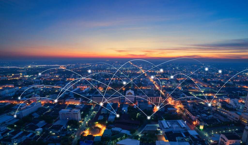
The landscape of urban living is evolving. Cities are embracing technological advancements to become smarter, more efficient, and sustainable. To live in and develop a smart city, you must think smarter, even when it comes to the subsurface. Technology is fueling a transformation of intelligence and innovation.
In 1800, less than 10% of people lived in urban areas. However, according to the UN World Urbanization Prospects, urban populations outgrew the total in rural areas by 2007. Today, over half of the world’s population (around 55%) live in urban areas.
By 2050 that number is expected to increase to 68%, adding another 2.5 billion people to urban areas. By 2030 alone, the world is expected to have 43 megacities with over 10 million inhabitants, most of them still in what would be considered developing regions.
At the heart of this transformation lies SiteMap® (patent pending), a catalyst for reshaping the future of facility management and contributing significantly to the development of smart cities. This is done through comprehensive subsurface and utility locating & mapping services and cloud-based data management.

The Smart City Revolution
Smart cities integrate cutting-edge technology to optimize resources, enhance sustainability, and improve the quality of life for residents. Central to this evolution is the efficient management of facilities, infrastructure, and utilities. When we have efficient management of these assets, we’re better able to protect our growing cities, while also giving them the tools needed to succeed and advance.
Smart cities are becoming more prominent, and the statistics show that they are only slated to grow in popularity and number in the upcoming years. To break it down:
- The Smart Cities market worldwide is set to experience plenty of revenue growth, with projected revenue reaching $89.49bn USD in 2023.
- This increase is expected to continue at a compound annual growth rate (CAGR) of 13.13% from the year 2023 to 2028.
- The market volume is anticipated to reach $165.80bn USD by 2028.
- The USA is expected to generate the greatest revenue in the Smart Cities market, with an estimated revenue of $11.12bn USD in the year 2023.
This growth is only made possible by proper infrastructure locating and management. Before these smart cities can be built, we need to properly notate where the old world lies, so that we may properly connect it, repurpose it, and work around it.
SiteMap’s Vision for Smart Cities
SiteMap® stands at the forefront of this evolution, offering innovative solutions that help empower solutions for the dynamic needs of smart cities:
Digital Infrastructure Mapping
SiteMap’s benefit lies in digitizing and mapping complex urban infrastructure. When combined with the technology and expertise of GPRS, this digitization is 99.8% accurate (for utility mapping & concrete scanning), allowing the most precise maps and visualizations to be made. From utility networks to building layouts, SiteMap’s detailed mapping software provides a comprehensive tool for efficient development. Data in SiteMap® is layered, mapped, and cross-referenced. This data can be updated as needed to ensure accurate subsurface as builts to see you through planning, prefabrication, and construction, all the way through operations & maintenance.
Real-Time Data Insights
The platform subscription tiers offer real-time insights to city planners, facility managers, and decision-makers. This enables proactive decision-making and predictive maintenance strategies. With SiteMap®, you and your team members get secure cloud-based storage with the ability to upload and store as-built drawings and site records. You’ll also gain access to GPRS data, as well as the ability to import existing infrastructure data, and things like annotations, specs, photos, GPR data, and other documents.
One of the most important features of SiteMap® is its direct connection to GPRS. GPRS is the largest private utility locator in the United States, and it holds an astoundingly comprehensive collection of utility information. As a result, users have access to the most accurate and current maps and facility information. This allows for real-time data insights, available on your favorite device, shareable with anyone you choose to see the data.
Sustainable Solutions
By providing tools for better resource utilization and maintenance, SiteMap® contributes to the sustainability goals of smart cities. Efficient management translates into reduced waste and enhances environmental conservation. When project managers and other professionals can accurately see where the subsurface infrastructure is, they’re less likely to strike lines, or cause some other disaster. This means that there’s less waste, fewer accidents, fewer fatalities, and more progress. Further, ground penetrating radar (GPR) has the ability to aid environmental applications, and the data that GPRS collects could have a big impact on the studies of those looking to keep our communities functioning and safe.
On a Larger Scale
SiteMap® is already equipped to help you tackle big dreams because we know that those dreams come with big demands. The world is demanding more smart cities. The U.S. is leading the revenue growth for the smart cities market, even though both China and Germany have publicly announced their commitment to growth of such zones. SiteMap® is constantly supporting and adding features that would make the progression of these smart cities easier to manage.
For instance, take smart universities and other facilities into consideration. These projects are complex and require a lot of data to be completed safely and properly. Location data for large, complex campuses is often fragmented and limited by the size or age of the paper it lives on, this makes it very difficult to scale any sort of organized geographic information system.
With SiteMap’s Map Viewer, civil engineers and facility managers can look at what artifacts relate to a specific geolocation in real time via viewable, searchable maps, a 3D modeling viewer, and can even tag site features. SiteMap® can house every piece of information—historic and current—so the content can be located and cross-referenced on demand. This data can even be aggregated, allowing for easy viewing and use. The system can also grow along with the user as more information becomes available.

SiteMap® Advantages for Smart Cities
We’re now looking for ways to manage a lot of people efficiently. This also means that we need to properly map and manage our subsurface infrastructure, as things will continue to grow in complexity. There are many advantages to smart cities, and nearly all of them can be helped by using SiteMap® to help map and locate crucial facilities.
Enhanced Efficiency and Resource Management
SiteMap’s data-driven approach optimizes resource allocation, to reduce operational costs while improving service delivery. This means that municipal planners and engineers will be able to scale up smart cities at a steady pace, without wasting time, money, or endangering lives. Efficient smart cities start with efficient utility and infrastructure management.
Predictive Maintenance
Anticipating and addressing issues before they escalate minimizes downtime, ensuring uninterrupted services for city residents. By utilizing data shown in SiteMap®, teams can set up systems and checks that make maintenance easier and even predictive. When you know where you’re going, getting there is a lot easier.
Improved Quality of Life
Efficient management translates into better public services, from smoother traffic flow to reliable utility provision, enhancing the overall urban experience. When you have a grip on your infrastructure management, everything else falls into place with greater ease. Infrastructure management is crucial to the flow of modern urban planning, including everything from transportation development and upkeep to proper water storage and treatment. SiteMap® helps improve lives by carefully mapping and supporting the systems that support urban living.
Embracing the Future
As cities evolve into smart, interconnected hubs, SiteMap’s role becomes increasingly pivotal. SiteMap’s commitment to innovation and efficient facility management propels smart cities toward a future where sustainability, efficiency, and quality of life intertwine seamlessly. SiteMap® helps to foster smart decisions, helps to keep communities safe, and helps to pave the way for smart cities to grow.
In a world where cities are the epicenters of innovation, SiteMap® can be a guiding force, revolutionizing facility management and shaping the smart cities of tomorrow. Infrastructure facility management is easier than ever with SiteMap®.
Contact us today to learn more about how our services can help you build the city of tomorrow.
