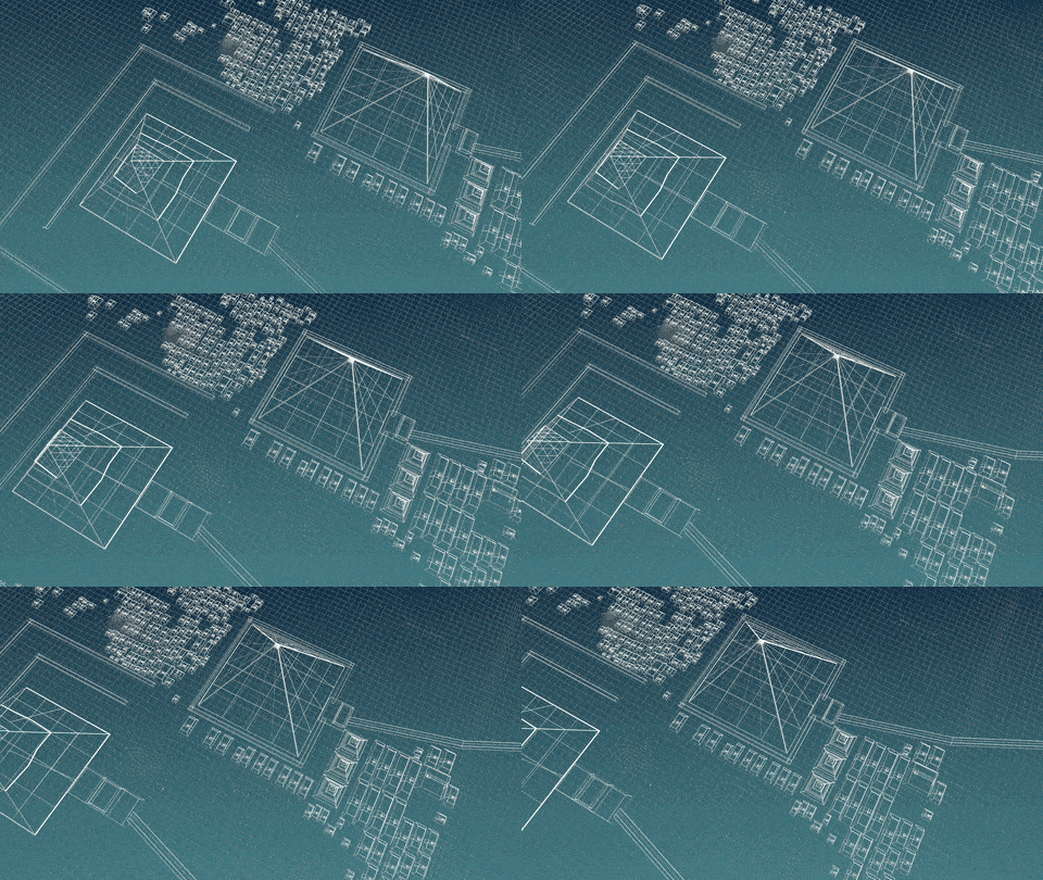
Process advancements aren’t usually accomplished in a day. True revolution and progress can take time. The Pyramids took at least 20 years to complete, with an estimated workforce of between 20,000 to 100,000 people. These marvels still stand the test of time, and it’s partly due to their smart design. Like any revolution, when trying to transform and improve the way we interact with the subsurface, true innovation takes time and patience to master.
In an era of rapid urbanization and technological advancement, the management of infrastructure assets has become increasingly complex and critical. From water and sewer systems to electrical grids and transportation networks, and more, there are miles upon miles to manage. The subsurface is complex, and it takes a smart solution, and one of the most innovative solutions is SiteMap® (patent pending,) powered by GPRS.
What is the role of SiteMap® software in transforming the management of infrastructure assets? How is it reshaping the way organizations map, monitor, and maintain their underground utilities? Let’s dig deeper.

The Egyptian pyramids, particularly the Great Pyramid of Giza, showcase remarkable precision in construction, with perfectly fitted limestone casing stones and meticulously aligned internal passages reflecting the advanced engineering and astronomical knowledge of the ancient Egyptians.
The Importance of Utility Mapping Software
Utility mapping software plays a pivotal role in the effective management of utility distribution systems, providing project managers with the tools they need to accurately map, analyze, and optimize their infrastructure assets. The importance of utility mapping software cannot be overstated, as our utilities are a fundamental resource that underpins public health, economic prosperity, and environmental sustainability.
Public Health: Accurate mapping of our utilities is essential to ensure the delivery of utilities and their benefits. For instance, proper utility management is crucial for the delivery of safe and clean drinking water to communities. According to the World Health Organization, In 2021, over 2 billion people lived in water-stressed countries, which is expected to be exacerbated in some regions as a result of climate change and population growth. And globally in 2022, at least 1.7 billion people used a drinking water source contaminated with feces. Microbial contamination of drinking-water as a result of contamination with feces poses the greatest risk to drinking-water safety. The proper management of utilities like our waterways is a major public health factor, and proper mapping helps manage utilities efficiently.
Economic Prosperity: Utilities are critical drivers of economic growth and development, providing essential services to residential, commercial, and industrial customers.
Environmental Sustainability: Sustainable utility management is essential for protecting natural ecosystems and conserving resources for future generations. Effective utility mapping software can help utilities optimize their utility distribution systems and minimize water losses.
The Role of SiteMap® in Utility Mapping

SiteMap® offers a comprehensive suite of tools and features designed to meet the unique challenges of utility mapping and management. From accurate mapping of underground infrastructure to easy sharing of asset performance and information, SiteMap® software empowers utility managers to make informed decisions and optimize their operations.
Accurate Mapping: SiteMap® software enables project managers to utilize high-resolution maps of their utilities. By accurately mapping the location, size, and material of underground infrastructure, utilities can improve their understanding of their assets and identify areas for optimization. Your data is uploaded shortly after your GPRS locate job completes. The data is easy to understand, aggregated, and in-depth for optimal utilization.
Easy Monitoring: SiteMap® software provides utilities with easy monitoring capabilities, allowing them to understand more about the utility with just a simple glance. SiteMap has the resources to allow for comprehensive monitoring. Such as the use of the Digital Plan Room, which enables teams to:
- Break down silos and transparently communicate towards common goals on projects
- Edit and append auxiliary information to their databases
- Drive their projects forward with full confidence that their data is objectively correct
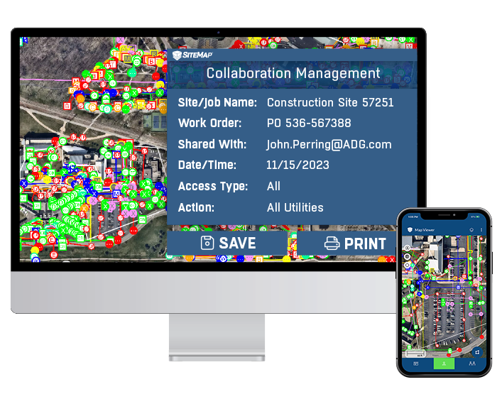
Increased Visibility: With the use of unique and advanced SiteMap® tools and assets, users can access their 99.8% accurate GPRS data in new and exciting ways. This includes the Map Viewer. The Map Viewer is an enabler of real-time visibility for clients who use SiteMap®. It enables users to collaborate on, view, and share their GIS data, as well as perform walkthroughs of sites via 3D tools like Walkthrough 3D and building information management (BIM) models.
With SiteMap®, users are able to interact with digital twins of their physical sites. This includes existing aerial imagery taken from drones, concrete scanning, underground utility, leak detection, and pipe inspection data, point cloud data from 3D laser scans, the location of subsurface infrastructure such as storage tanks, concrete slabs, and more.
The Map Viewer can leverage GPRS’ state-of-the art technology in location and mapping infrastructure. SiteMap employs a fusion of methodologies to identify and gather data on the subterranean utilities of a job site. These methods include:
- Ground Penetrating Radar for detecting subterranean objects of metallic and non-metallic structure
- Electromagnetic Locating for identifying and mapping underground utilities
- Static Cameras and Robotic Camera Crawlers systems for pipeline and sewer inspection
- Acoustic Devices for non-invasively detecting pipe leaks and discrepancies
SiteMap® offers users a comprehensive way to manage assets, revolutionizing the way our world is built around us.

SiteMap® software is revolutionizing the management of infrastructure assets. By providing utilities with accurate mapping, easy sharing, comprehensive monitoring, and more SiteMap® software empowers project managers to optimize their operations, reduce costs, and improve service delivery. Nothing is built within a day, and SiteMap® software will play an increasingly important role in helping our built world adapt and thrive in a rapidly changing environment
See the subsurface like never before. Contact SiteMap® today.
