A 2015 Accenture Survey found 82% of organizations to execute innovation in exactly the same way they go about achieving incremental performance gains. This often leads to quite a few unique challenges, such as 72% admitting to missing crucial growth opportunities and 60% struggling to learn from their past mistakes.
In a fast-paced, sometimes cutthroat environment of construction and facility management, staying ahead requires both innovation and precision. SiteMap® (patent pending), powered by GPRS has emerged as a game-changer in this arena, offering comprehensive solutions that revolutionize how stakeholders, project managers, and other professionals navigate underground assets and analyze construction site data. SiteMap® offers cutting-edge technology with intuitive, people-first, design to streamline utility and infrastructure mapping, and enhance decision-making processes. Innovation is the game, and SiteMap® is winning in a big way.

Understanding the Need for Precision Utility Mapping
Before delving into the specifics of SiteMap®, it’s crucial to understand why precision utility mapping is essential to its successful outcome. According to recent statistics, utility damage during excavation activities costs over $40 billion annually, with more than half of reported utility strike incidents occurring due to inadequate or inaccurate mapping information. These numbers support the importance of having reliable data on underground utilities to mitigate risks, minimize disruptions, and ensure safety.
Any service can claim to map an area, whether below or aboveground, but only one service can do it as thoroughly and accurately as is required to nearly eliminate the risk of striking a utility; that service is GPRS, with data delivered through its easy-to-use platform, SiteMap®.
Precision utility mapping takes the guesswork out of your underground and provides the data on private utilities that 811 can’t. While 811 is a fantastic tool that is legally required, their contractors can only locate public utilities, which means they don’t have all of the data that’s needed to reduce substantial risk. 811 only holds data for public utilities, and there are a lot of them. In fact, 10% of the US population gets their drinking water from a private water utility line. However, many properties in the U.S. contain 65% private lines and just 35% public.
There are thousands of miles of properly mapped utility lines in the nation, both private and public. GPRS is in pursuit of a world with 100% subsurface damage prevention. Our 99.8% accuracy rate for ground penetrating radar services (GPR), utility locating services, utility mapping services, and more, can help take the guesswork out of the underground, providing you with precise data that is then turned into easy to navigate aggregated, digital maps, delivered via SiteMap®.
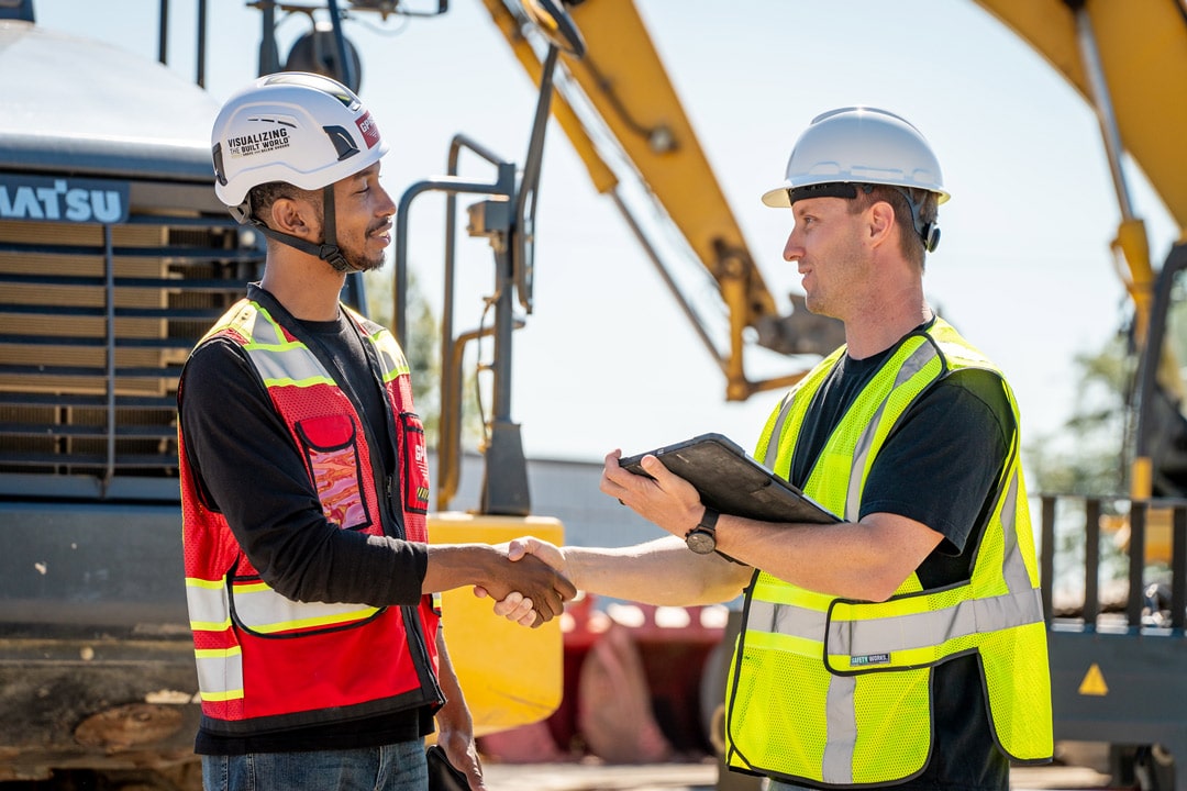
SiteMap®: Your All-in-One Utility Mapping Solution
![]()
SiteMap®, powered by GPRS, is more than just a utility mapping delivery service – it’s a comprehensive infrastructure management platform designed to meet the diverse needs of construction professionals, facility managers, and utility operators. At its core, SiteMap® offers three key components:
Precision, Layered Utility Mapping: Leveraging many different advanced technologies, GPRS provides accurate and real-time mapping of underground utilities, including gas pipelines, electrical cables, water mains, sanitary and storm sewers, and telecommunications infrastructure, among others. With high-resolution imaging capabilities, SiteMap® enables stakeholders in many industries to visualize underground assets with unparalleled clarity and precision, reducing the risk of excavation-related incidents and costly repairs.
With SiteMap’s interactive underground utility map, users can explore underground assets in a dynamic and intuitive interface. Featuring customizable layers, advanced search functionalities, and more, each interactive map empowers stakeholders to analyze construction site data, identify potential conflicts, and optimize project workflows with ease. See your site simply, in a new, exciting way, by seeing your site with SiteMap®.
Through SiteMap®, professionals may also see their aboveground structural assets via a WalkThru 3D Virtual Tour, or other 3D product offered by GPRS, which can provide workers, stakeholders, and potential customers a self-guided reality capture experience of your project from anywhere in the world, also delivered via SiteMap®.
Utility Mapping Anywhere: In complex construction environments, access to data on-the-go is essential. SiteMap’s utility mapping mobile app puts the power of precision mapping in the palm of your hand, allowing field team members to view, download and share, annotate, and utilize utility maps directly from their mobile devices. Whether conducting on-site inspections, performing emergency repairs, or collaborating with remote teams, the mobility of SiteMap® ensures seamless communication and decision-making across all project phases.
Accurate Underground Utility Maps: Gone are the days of static paper maps and cumbersome, inaccurate software. With SiteMap’s interactive underground utility maps, and structural reality capture, users can explore underground and aboveground assets in a dynamic and intuitive interface. However, what good would all of these maps be without accuracy? SiteMap® is different from other GIS platforms, because SiteMap® is backed by GPRS, which provides 99.8%+ accurate data, and has maintained this rating on over half a million jobs nationwide.
Every decision you make can cost time, money, and even lives. Having accurate documentation before you build, cut, core, or dig – accessible at the touch of a button, whether you’re on site or across the country – helps you plan, design, dig, manage, and build better.
GPRS specializes in Intelligently Visualizing The Built World® for clients in virtually every industry, and delivers 99.8%+ accurate utility maps & concrete scans, rectified 3D photogrammetry & walkthrough tours, and 2-6mm accurate 2D CAD drawings, 3D point clouds, meshes, and BIM models via our SiteMap®® platform.
The Power of Data-Driven Decision-Making
In an industry where every decision can have far-reaching implications, having immediate access to reliable data is one of the most important aspects of construction, facility management and related AEC industries. SiteMap® equips stakeholders with the insights they need to make informed decisions and drive project success. By harnessing the power of data-driven decision-making, SiteMap® enables:
Risk Mitigation: By accurately mapping underground utilities and identifying potential hazards, SiteMap® helps mitigate the risk of excavation-related incidents, ensuring the safety of workers and the integrity of infrastructure. Excavation damage continues to be a leading cause of pipeline incidents, which can lead to destruction of property, injury, and fatalities
Resource Optimization: With easy-to-understand data on utility locations and conditions, project managers can optimize resource allocation, streamline workflows, and minimize downtime, leading to increased efficiency and cost savings.
Regulatory Compliance: Compliance with regulatory requirements is non-negotiable in the construction industry. SiteMap’s comprehensive mapping solutions facilitate compliance with safety regulations, environmental standards, and permitting processes, reducing the risk of costly fines and legal liabilities.
One of the biggest mistakes that organizations make when trying to embrace innovation is repeating past mistakes. Don’t repeat your past mistakes, contact SiteMap® before you dig, bore, or even scratch the subsurface. Don’t pay a provider twice, once to fail, and then GPRS and SiteMap® to help fix the inevitable damage that’s been done.
As the construction industry continues to evolve, embracing innovation and leveraging the power of technology will be essential for staying competitive and driving growth. SiteMap® by represents the future of facility management and construction site data analysis, offering all-in-one solutions that empower stakeholders to navigate the complexities of underground assets with confidence and clarity.
By combining advanced ground-penetrating radar technology with intuitive design and user-friendly interfaces, SiteMap® redefines the way professionals interact with construction site data, enabling them to make smarter decisions and achieve better outcomes. Whether you’re a construction professional, facility manager, or utility operator, SiteMap® provides the tools you need to succeed in an increasingly complex and dynamic environment.
Stop repeating the same mistakes over and over. What’s the definition of insanity, again?
Contact SiteMap® today to see your site in a way you never have before.