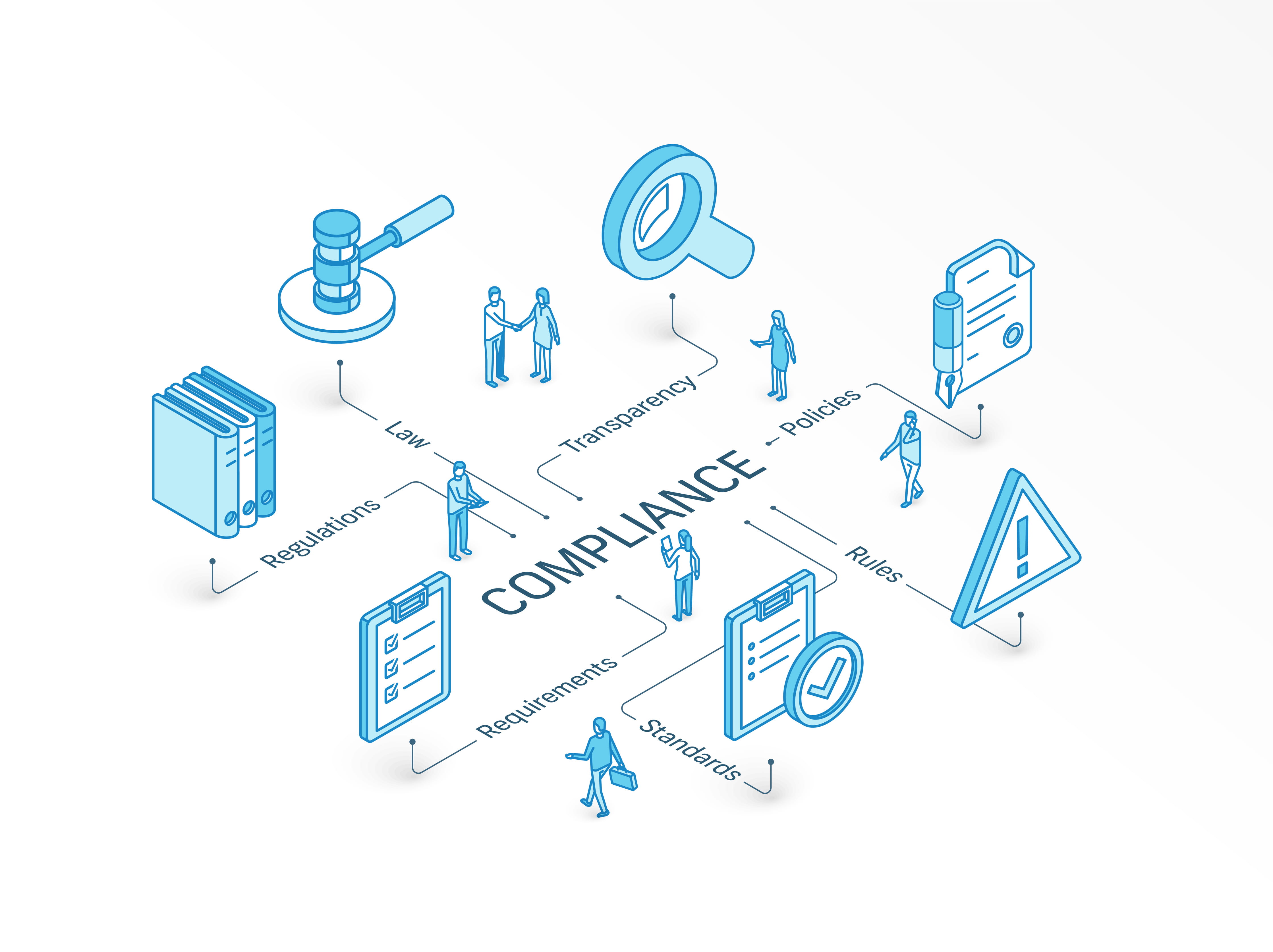
In the intricate dance of infrastructure development, compliance isn’t just a buzzword that is tossed around and muttered, but rather the cornerstone that ensures safety, efficiency, and sustainability. Civil Engineers and Infrastructure Project Managers know too well how daunting the task of adhering to ever-evolving construction regulations can be. Construction is rapidly changing, and the demands that construction professionals must meet are also evolving with the field. From regulations (and incentives) regarding the environment, to regulations regarding traffic flow, there’s a lot to manage when you manage construction.
SiteMap® (patent pending), powered by GPRS, serves as a flagpole of innovation in the construction technology domain. But how is SiteMap® reshaping the approach to regulatory compliance? How is SiteMap® offering a streamline path through the mazes of mandates that govern the infrastructure landscape?
Understanding SiteMap®
SiteMap® stands at the intersection of cutting-edge technology and industry acumen, adept at conquering the compliance labyrinth. As a versatile platform, it offers a treasure trove of features that speak directly to the needs of professionals grappling with construction codes and standards.
From its intuitive interface to its sophisticated analytic capabilities, SiteMap® provides a comprehensive toolbox for those at the helm of constructing tomorrow’s landmarks.
SiteMap® was designed to help professionals see where they’re going in new and exciting ways. This is a need in a field wrought with utility strikes and the excessive costs due to them. Most professionals know of 811, a system which all project managers should be utilizing before they dig. The 2021 DIRT report’s data show that the U.S. 811 One Call program is locating and properly marking 99.47% of the public utility locating requests it receives. However, the .53% of 811 One Call public utility locates that result in a strike account for some $62 billion in additional budget costs in utility strikes for construction, renovation, and infrastructure projects.
So, as communities and states begin breaking ground on their long-awaited infrastructure renewal projects, billions of dollars could be wasted. Which would decimate the anticipated $1.2 trillion in spending within a few years and could set the plan up to fail before it really begins.
According to research conducted for GPRS in 2021 by Finch, the average cost of each one of those 192,745 utility strikes that make up 811’s 0.53% strike rate is approximately $56,000.
However, despite the use of this system, utility strikes are still occurring at an alarming rate. With instances continuing at a 3-year high. According to the 2022 DIRT Report, the analysis of 2022 data indicates that a few persistent challenges are responsible for nearly 76% of damages that occur. These damages include no notification to the 811 centers; failure to pothole and/or maintain sufficient clearance,improperly located/marked facilities; and other improper excavation practices.
No-notification damages make up more than 25% of all damages, with 77% of no-notification damages attributed to professional excavators, such as those used in construction. Focusing industry efforts and outreach on these top challenges is key to making measurable progress in reducing damage and near-miss incidents.
SiteMap® helps make the instance of a utility strike or other issue due to subsurface facilities less of a risk by properly and accurately visualizing your job site, using 99.8% accurate data sourced from your GPRS locate job. Your data is easy to see and easy to interact with once loaded into your SiteMap®. From there, you may view, print, interact with, customize, and share your experience, bringing your team together with greater ease. This goes a long way in preventing utility strikes and saving money.
Compliance Challenges in Infrastructure Development
The path to project completion is littered with compliance hurdles—from zoning laws to environmental standards. Civil Engineers and Project Managers often face significant roadblocks that can delay or even derail projects.
Using SiteMap®, professionals can now anticipate and navigate these challenges more effectively. With quick, accurate updates and insights, SiteMap® transforms these potential obstacles into mere stepping stones towards project fruition.
Using the accurate data presented in SiteMap®, project managers can better prepare for compliance challenges by identifying where they may occur and properly addressing the issue areas beforehand. Because SiteMap® allows you to break down your job site, layer by layer, professionals can better understand and see where issues may arise.
Utilizing SiteMap® for Compliance
Armed with SiteMap®, the complexities of compliance become manageable.
- Understanding the regulatory framework applicable to your project thanks to a better understanding and view of your project details and zone.
- Comparing areas with other databases with your SiteMap® for relevant compliance information and changes.
- Leveraging SiteMap® analytics to align project details with regulatory requirements
When you’re better able to see your project site, you’re much more likely to meet compliance demands with ease.
The Role of 3D Mapping and GIS Software
The revolutionary fusion of 3D mapping of underground utilities and GIS software is redefining our understanding of utility infrastructure management. SiteMap® sits at the core of this transformation, bridging the gap between the physical and the digital, ensuring that projects not only comply but excel in efficiency.
Integration of 3D mapping with GIS software enables engineers to view and manipulate complex models, ensuring a thorough and proactive compliance strategy. With SiteMap® in the mix, every layer of infrastructure information becomes accessible, informative, and actionable. One may also choose to utilize the amazing design team at GPRS, who are capable of creating extensive 3D BIM Models and more to help you visualize your project in new and exciting ways.
The interplay of SiteMap®, compliance, and innovative 3D mapping places civil engineers and infrastructure project managers in an enviable position of power. A job site that is properly visualized is one that is ready to meet all compliance issues before they arise. See the subsurface like never before, and identify issues with greater understanding by utilizing the amazing visualizations and mapping services provided by SiteMap®, with accurate data provided by GPRS. Tap into the potential of SiteMap® and transform the daunting task of compliance into a seamless aspect of your project management process.
Explore SiteMap® and see the subsurface with simplicity. Contact us today to learn more about how we can serve you.