GPRS’ sewer inspection services and SiteMap® infrastructure mapping platform saved a train station rehab project from a major derailment.
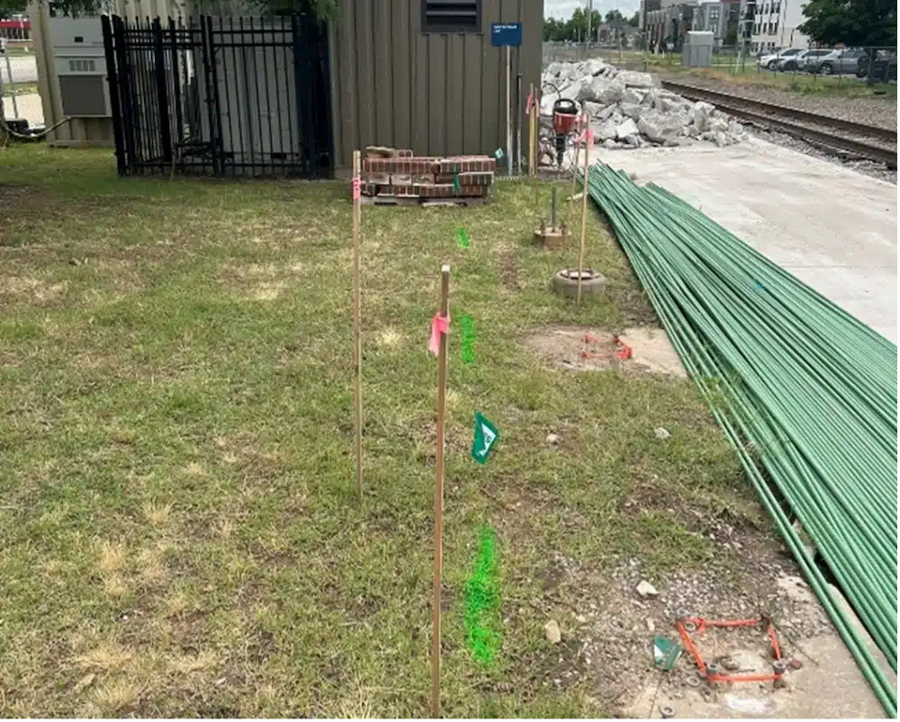
GPRS Project Manager Joe Meyer was assigned to inspect both the storm sewer laterals and the mainline, which were located alongside active railroad tracks. Each lateral – pipes that transport stormwater from buildings to the public sewer system – measured between 15 and 20 feet in length, while the mainline extended roughly 350 feet.

GPRS Project Manager Joe Meyer
According to the client’s existing as-built drawings, five sewer laterals were connected to the mainline. They required accurate location data and video documentation of each pipe’s condition to facilitate integration with new roof drain systems.
To carry out the inspection, Meyer deployed the ROVVER X SAT II Lateral Launch Camera. This advanced tool is also commonly used by GPRS VPI Project Managers for pre- and post-installation inspections, as well as for identifying cross bores. You can find more information about its applications here.
All GPRS Project Managers hold NASSCO certifications in pipeline (PACP), lateral (LACP), and manhole (MACP) assessments. The NASSCO reports generated by GPRS provide detailed, interactive insights into any defects found, complete with photos and video footage of each pipe segment. Issues are categorized by severity, helping clients prioritize repairs and pinpoint exact excavation locations.
During his inspection, Meyer discovered inconsistencies between the client’s as-built records and the actual underground infrastructure.
“They had listed 5 laterals and one mainline [on their current plans], but in reality, there was only four laterals and one mainline,” he explained.
Of bigger concern was what Meyer found inside those four laterals.
“The mainline ran fine. I found all the features, everything was great,” he said. “The only problem was – and this was helpful for them – that all four laterals that were going to an underground pipe were blocked.”
Without the data Meyer collected, the client would have likely encountered serious sewer backups after completing their rehab project.
“They would have probably installed those new roof drains just to have them all back up because they did not know that those were all blocked,” Meyer explained. “That was the key piece of information that, while it was not good news, it was news that prevented them from going on and putting sod down and doing all this and then tearing it all back up just to fix it again.”
GPRS Video Pipe Inspection services involve using remote-controlled sewer inspection rovers and push-fed sewer scopes to investigate and map buried sewer and storm water lines.
By pinpointing the blockages using his sewer inspection tools, Meyer helped the client avoid a potentially expensive and hazardous large-scale excavation – an outcome that might have been unavoidable had the issues only been discovered after construction was complete.
Given that the work was being conducted adjacent to an active rail line, the data Meyer provided was especially critical. Even minor soil disturbances in that area could have jeopardized the stability of the tracks, posing serious safety risks for passing trains.
“Excavation around rail systems requires a lot of permitting and can shut things down for quite some time,” Meyer said. “With the information I was able to give them, they could do targeted excavations, maybe even use hydrovac instead of having to get an excavator out there to do major dirt work.”
Once the client has cleared the blockages from the laterals, Meyer will return to complete his mapping of the storm system.
The data Meyer collected and will collect in the future will be at the client’s fingertips throughout the project lifecycle thank to SiteMap® (patent pending), GPRS’ cloud-based infrastructure management platform. With SiteMap, the client can reference their data 24/7 during every step of the renovation process. And it can be securely shared with members of the project team to ensure seamless communication and collaboration.
“The superintendent was most interested in those plot points on SiteMap so that they could perform targeted excavation, which was important to them because of the lines’ proximity to the rail system,” Meyer explained.
GPRS’ SiteMap team members are currently scheduling live, personal SiteMap demos. Click below to schedule yours, and see how SiteMap can help you plan, design, dig, manage, and build better, today!