
(Rendering courtesy of the Kentucky Transportation Cabinet via Engineering News-Record) The $3.6-billion Brent Spence Bridge project reached a major milestone this spring when the U.S. Department of Transportation’s Federal Highway Administration (FHWA) announced the project cleared the environmental review process.
The $3.6-billion Brent Spence Bridge project hit a significant milestone this spring when the U.S. Department of Transportation’s Federal Highway Administration (FHWA) announced that the project had successfully cleared the environmental review process.
Ohio Governor Mike DeWine and Kentucky Governor Andy Beshear announced in a joint press release that the states received federal environmental approval, which allows the project to advance to design and construction. The plan is to upgrade the existing, 61-year-old bridge, and build an additional bridge dedicated to interstate drivers to improve traffic along a critical freight route that runs from Canada to Florida.
“This is an important step forward in bringing efficiency to our nation’s supply chain,” Gov. DeWine said. “The project will address one of the worst truck bottlenecks in the nation by improving safety and travel on an interstate connection that carries more than $400 billion worth of freight every year. It’s also a big step in reducing the frustration and inconvenience drivers have experienced in the corridor for more than 20 years.”
“The Brent Spence Bridge Corridor project is a testament to what can happen when we work together to get things done,” said Gov. Beshear. “The federal approval is a major milestone for us, and we’re grateful to all our partners and communities for their feedback. We look forward to completing this project, which will further boost our economic growth and create more good jobs for our families.”
The FHWA’s “Finding of No Significant Impact” was based on a supplemental environmental assessment conducted by the Kentucky Transportation Cabinet (KYTC) and the Ohio Department of Transportation (ODOT). The governors’ joint statement highlighted that this assessment “examined the social, economic, and environmental impacts of the project, as well as strategies to mitigate unavoidable effects.”
“The decision also reflects FHWA’s consideration of public and agency feedback received during the public comment period,” the statement continued.
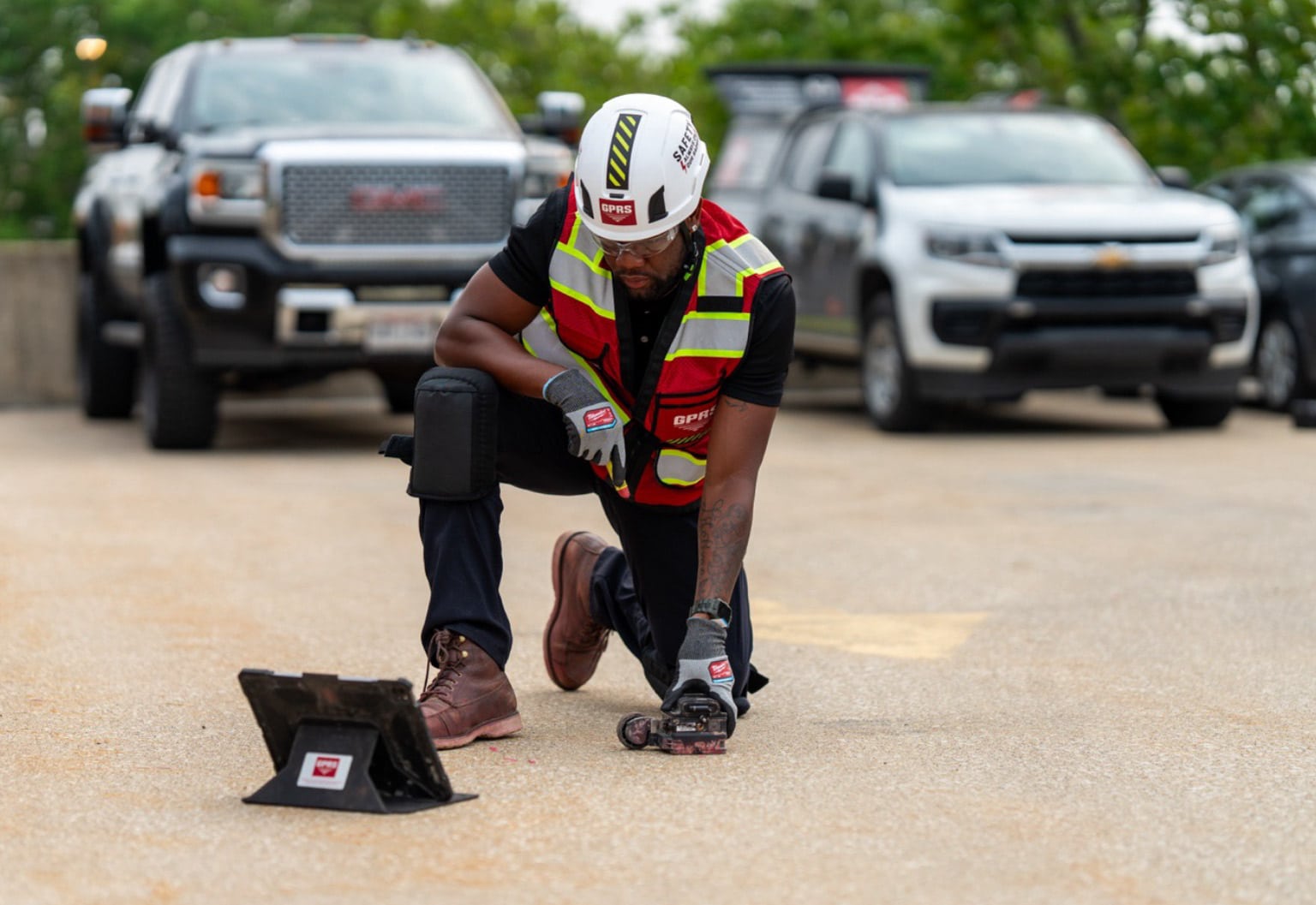
GPRS offers a comprehensive suite of subsurface damage prevention, existing conditions documentation, and construction & facilities project management services designed to keep you on time, on budget, and safe.
The Brent Spence Bridge, a double-decker, three-lane structure, originally opened in November 1963 and was built to carry 80,000 vehicles per day. However, due to the rapid growth of the Greater Cincinnati area over the past six decades, the bridge now handles twice that number. A fourth lane was added to each deck in 1985 to address traffic issues, but this modification came at the cost of full-width emergency lanes.
Currently, the American Transportation Research Institute ranks the Brent Spence Bridge as one of the nation’s worst traffic bottlenecks.
According to a DOT press release, the Brent Spence Bridge project has secured $1.6 billion in funding through the Bipartisan Infrastructure Law.
“…This bridge carries over $1 billion in freight and over 160,000 drivers every day, and today we are proud to mark the completion of the environmental review for the new Brent Spence Bridge, enabling the project to move to construction in the coming months,” said U.S. Transportation Secretary Pete Buttigieg.
“This is a big step in supporting the President’s commitment to rebuilding our nation’s infrastructure,” added Federal Highway Administrator Shailen Bhatt. “This bridge is a vital connector of goods to thousands of people in Kentucky and Ohio, and the investment in the Brent Spence Bridge will ensure the surrounding communities, and communities across the entire country, benefit from these improvements for decades to come.”
SiteMap® Helps Keep Infrastructure Projects On Track
The ASCE highlighted a growing “backlog of rehabilitation needs” in their report, emphasizing that “Federal, state, and local governments must prioritize strategic investments to improve and preserve roadway conditions that enhance public safety on the existing system, while also preparing for the roadways of the future, which will need to accommodate connected and autonomous vehicles.”
The Bipartisan Infrastructure Law allocates $550 billion in new federal investments from fiscal years 2022-2026, targeting roads, bridges, mass transit, water infrastructure, resilience, and broadband. Additionally, the Inflation Reduction Act provides over $5 billion through September 2026 for three new FHWA programs: the Neighborhood Access and Equity Grant Program, the Low-Carbon Transportation Materials Grants, and the Environmental Review Implementation Funds program.
With this federal funding, there’s an even greater focus on ensuring these projects are completed on time, within budget, and safely.
GPRS offers a comprehensive range of services for subsurface damage prevention, existing conditions documentation, and construction & facilities project management to support these objectives.
We utilize advanced technology such as ground-penetrating radar (GPR) scanners, electromagnetic (EM) locators, 3D laser scanners, and remote-controlled sewer pipe inspection rovers to safeguard your buried infrastructure and prevent subsurface damage during excavation. Our in-house Mapping & Modeling Team can convert the field-verified, accurate data collected by our SIM and NASSCO-certified Project Managers into formats that meet your planning and operations & maintenance (O&M) requirements.
All this information is available to you and your team 24/7, accessible via any computer, tablet, or smartphone through SiteMap® (patent pending), our project & facility management application that provides precise existing conditions documentation to protect your assets and personnel.
GPRS SiteMap® team members are currently scheduling live, personal SiteMap® demonstrations. Click below to schedule your free demo today!
Frequently Asked Questions
What are the Benefits of Underground Utility Mapping?
Having an updated and accurate map of your subsurface infrastructure reduces accidents, budget overruns, change orders, and project downtime caused by dangerous and costly subsurface damage.
How does SiteMap® assist with Utility Mapping?
SiteMap®, powered by GPRS, is the industry-leading infrastructure management program. It is a single source of truth, housing the 99.8%+ accurate utility locating, concrete scanning, video pipe inspection, leak detection, and 3D laser scanning data our Project Managers collect on your job site. And the best part is you get a complimentary SiteMap® Personal Subscription when GPRS performs a utility locate for you.
Does SiteMap® Work with my Existing GIS Platform?
SiteMap® allows for exporting of data to SHP, GeoJSON, GeoPackage, and DXF directly from any user’s account that either owns or has a job shared to their account. All these file formats can be imported and utilized by other GIS packages if manually imported by the user.