When GPRS was called on to locate and map buried utilities to ensure the safe installation of heavy equipment at a pipeline compressor station in Ohio, we discovered more – and less – than the client anticipated.
Project Manager Matt Higginbotham was initially responsible for pinpointing a single water line running through a 10,000 square foot area at the station, where two heavy pieces of equipment were to be installed. Striking this plastic line during excavation or crushing it under the weight of the structures would have led to expensive repairs and disruptions to the station’s operations. Therefore, it was crucial for the client to know the exact location of the line before starting work.

GPRS located a plastic water line and electrical ground line within a 10,000 s.f. project area at a compressor station, where two large pieces of equipment were to be installed.
However, an existing as-built drawing of the station suggested the presence of a second water line in the project area. At this point, the client realized they needed a thorough understanding of everything buried beneath the site.
“The customer asked that all potential utilities be located in the area – not just the water line,” Higginbotham said.
Higginbotham utilized both ground penetrating radar (GPR) and electromagnetic (EM) locating to identify and map the buried utilities.
GPR scanners send radio waves into the ground or a surface like concrete, then detect the interactions between those waves and any buried objects. These interactions appear as hyperbolas on a GPR readout, with each hyperbola differing in size, color, and shape depending on what was detected. GPRS Project Managers are specially trained to interpret this data to determine what was located and its approximate depth underground.
EM locators identify the electromagnetic signals emitted by metallic pipes and cables, or from tracer wires attached to non-metallic utilities. The locator’s transmitter can apply a current to the pipe or tracer wire, or if the utility is a live electrical cable, detect its current flow. Signals can also come from a conductive pipe acting as an antenna and re-radiating signals from stray electrical fields.
At the compressor station, Higginbotham confirmed the location and depth of the plastic water line using his GPR scanner. He then verified his findings with his EM locator.
These same tools enabled him to locate an electrical ground line in the project area. Higginbotham marked the location of both utilities on the ground with spray paint and used real-time kinematic (RTK) positioning to geo-locate his findings, creating up-to-date drawings of the buried infrastructure.
“[Now] the client can safely excavate or shift the locations of the structures for their upcoming project,” Higginbotham said.
The Project Manager also confirmed that there was not a second water line within the 10,000 s.f. zone, despite what the client’s existing as-built records indicated.
“[This suggests] their as-built drawing may be incorrect,” Higginbotham said.
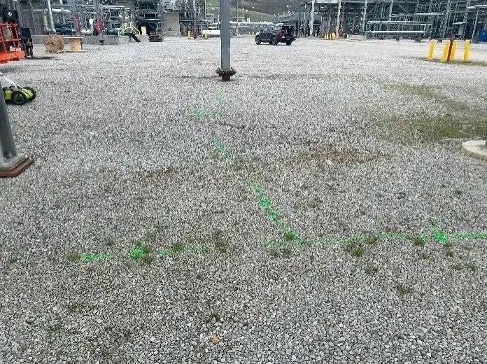
The green markings seen here indicate the location of an electrical ground line.
While accurate as-builts are vital for documenting the existing conditions of a building or site, the reality is that your existing as-built drawings are likely out of date or incomplete due to changes that occurred during the initial construction process or later renovations and repairs.
And not knowing what’s below before you dig is the quickest way to cause costly and potentially dangerous utility strikes.
That’s why it’s vital that you hire a professional utility locating company like GPRS to fully map and mark out the utilities in your project area prior to conducting any excavation activities.
To ensure the accurate, field-verified data we collect on your site is at your fingertips 24/7, GPRS created SiteMap® (patent pending). This intuitive and interactive infrastructure management platform gives you and your project team seamless, yet secure access to your data from any computer, tablet or smartphone – whether you’re on-site or halfway across the world.
Click below to schedule your live, personal SiteMap® demo today!