Phase II Environmental Site Assessments (ESAs) play a vital role in evaluating subsurface conditions during environmental due diligence and site investigations.
These assessments typically involve invasive methods like soil borings to detect potential contamination below the surface. However, drilling into the ground comes with risks—particularly the chance of hitting underground utilities.
Professional utility locating and mapping services helps accurately identify and mark underground infrastructure, greatly minimizing risks to personnel, equipment, and the success of your project.

The process of drilling into the ground carries inherent risks—especially when it comes to encountering underground utilities.
The Role of Soil Boring in Phase II Environmental Site Assessments
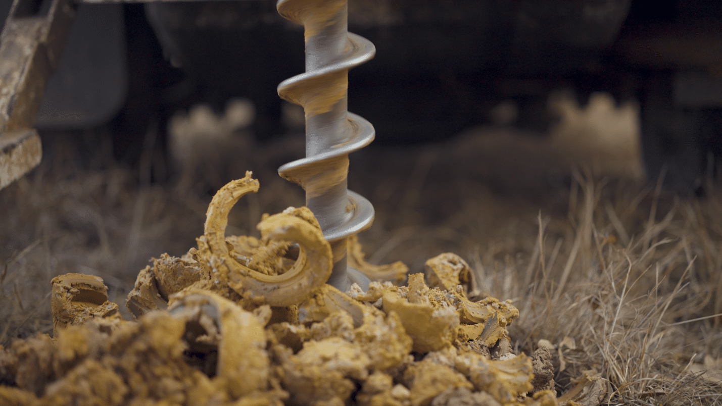
A Phase II ESA is usually performed when a Phase I ESA uncovers Recognized Environmental Conditions (RECs) or historical signs of contamination. The purpose of the Phase II is to determine if contaminants are present in soil, groundwater, or soil vapor at levels that exceed regulatory limits. To make this determination, environmental professionals collect subsurface samples through drilling, often using hollow-stem augers or direct-push technology.
Soil boring locations are selected with care, based on the site’s history, suspected or known contamination sources, and underlying geologic conditions. However, even with thorough planning, drilling can introduce serious safety and operational hazards. One of the most overlooked—yet potentially disastrous—risks is striking underground utilities by accident.
The Hidden Danger Beneath the Surface
Subsurface utilities—ranging from gas lines and electrical conduits to water mains and telecommunications cables—are essential for daily operations but can pose severe hazards during site investigations. Striking a utility line can result in:
– Serious injury or fatality (especially in the case of live electrical or high-pressure gas lines)
– Costly damage to infrastructure and equipment
– Environmental spills if sewage or fuel lines are ruptured
– Delays in project timelines due to emergency responses and repairs
– Legal liability and regulatory penalties
Even well-documented sites may not have up-to-date utility records. Renovations, undocumented installations, or degradation of materials can alter the subsurface environment significantly. Relying solely on historical maps or utility company records is not enough.

GPRS offers nationwide, precision utility locating services to help ensure the success of your environmental projects.
What Is Utility Locating?
Utility locating is the process of identifying and mapping the location of underground utilities before any excavation or drilling activity. It involves a combination of non-invasive technologies, including:
– Electromagnetic (EM) Locating – Used for locating conductive materials like electrical and communication lines.
– Ground Penetrating Radar (GPR) – Effective for identifying both metallic and non-metallic utilities (e.g., plastic water lines).
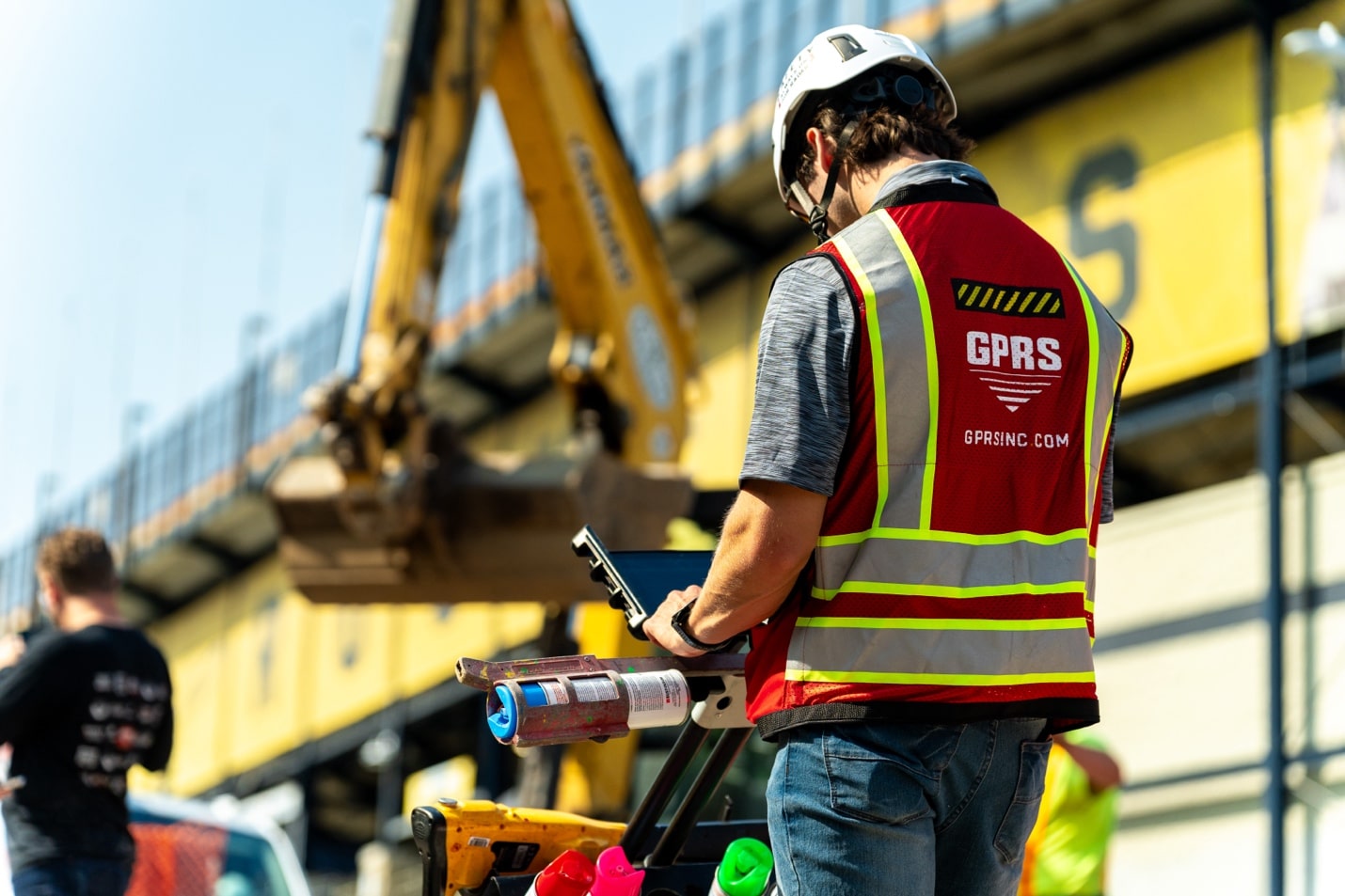
Locating services can identify known and unknown utilities, provide depth estimates, and mark utility paths with precision, often using industry-standard color coding.
How Utility Locating & Mapping Enhances Phase II Soil Boring Safety and Accuracy
Incorporating utility locating and mapping into the planning phase of a Phase II ESA dramatically increases the safety and reliability of soil boring activities.
Prevents Utility Strikes
The most immediate and obvious benefit is avoiding unintentional utility strikes. By knowing exactly where underground utilities are, drill operators can plan borehole locations that steer clear of hazards. This proactive step prevents injuries, service interruptions, and the associated costs.
Protects Personnel and Equipment
Even a minor utility strike can pose a significant risk to the safety of drilling crews and nearby personnel. For example, hitting a buried electrical line could cause electrocution or fire, while damaging a pressurized water or gas main could create explosive conditions. Avoiding these scenarios keeps people and equipment safe on-site.
Ensures Regulatory Compliance
Many states have laws requiring the use of utility locating services before breaking ground. Failing to comply can result in fines or more severe penalties, particularly if an incident occurs. Incorporating utility locating demonstrates due diligence and adherence to safety protocols, which is essential for legal and insurance purposes.
Improves Sampling Accuracy
Beyond safety, knowing the exact layout of utilities helps ensure that soil borings are placed in the most geologically and environmentally relevant areas. It prevents the need to shift boring locations at the last minute due to unexpected findings underground, which could compromise data quality or delay the investigation.
Reduces Project Delays
Every unexpected encounter underground can halt operations while emergency services or utility companies are called in. By locating utilities in advance, environmental professionals can keep drilling operations on schedule and within budget, contributing to overall project efficiency.
Supports Better Risk Management
Whether working for a private developer, municipality, or industrial client, risk management is a top priority. Utility locating gives stakeholders confidence that the site is being investigated safely and responsibly. It also provides documentation that can protect consulting firms and clients in the event of future disputes.
Best Practices for Integrating Utility Locating into Phase II ESAs
To maximize the benefits of utility locating, environmental consultants should follow these best practices:
– Start early: Schedule utility locating services well before fieldwork begins. This ensures time to adjust boring locations if necessary.
– Use qualified professionals: Work with certified utility locators who use the latest equipment and adhere to the Subsurface Investigation Methodology (SIM).
– Cross-reference with public utility data: While not foolproof, records from utility companies and existing as-builts can serve as a starting point.
– Document thoroughly: Maintain clear records of all markings, maps, and findings from the utility locating phase. Use photographs and GPS data when available.
– Communicate with drill crews: Ensure that all field personnel understand utility locations and potential hazards. Consider a safety briefing before drilling begins.
– Re-evaluate after site changes: If boring locations shift or the scope of work expands, conduct additional locating as needed.
GPRS & SiteMap® Offers Industry-Leading Utility Locating & Mapping Services
GPRS offers nationwide, precision utility locating services to help ensure the success of your environmental projects.
Utilizing state-of-the-art subsurface investigation technology such as GPR scanning and EM locating, our SIM-certified Project Managers provide you with complete and accurate data bout the built world beneath your project site, so you can excavate without the risk of costly and potentially dangerous subsurface damage.
All this data is at your fingertips 24/7 thanks to SiteMap® (Patent Pending), GPRS’ project & facility management application that provides accurate existing conditions documentation to protect your assets and people.
Click below to schedule your live, personal SiteMap® demo today!
