We live in a material world full of digital necessities and requirements. Our reliance on technology becomes stronger with each passing year. This digital chokehold extends into every aspect of our lives, right down into our soil: mapping and dictating the world around and below us. In an increasingly digital world, the efficient management of infrastructure assets is essential for ensuring the reliability, safety, and sustainability of urban environments.
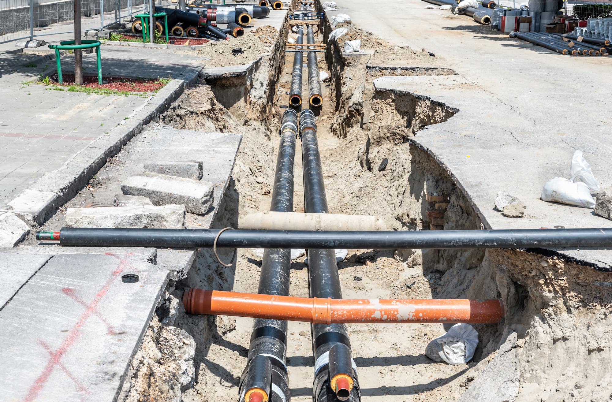
Utility managers in particular, face unique challenges in managing their complex networks of underground infrastructure, including water and sewer lines, electrical cables, and telecommunications networks. To address these challenges, utilities are turning to advanced solutions like SiteMap® (patent pending), powered by GPRS, to transform the way they map, monitor, and manage their infrastructure assets. Let’s explore how SiteMap® transforms data into action.
The Evolution of Infrastructure Mapping
Traditionally, infrastructure mapping involves manual surveys, paper records, and outdated mapping tools, resulting in inaccuracies, inefficiencies, and limited visibility into underground assets. That is until Roger Tomlinson, who many consider to be the father of GIS (Geographic Information Systems), decided to trailblaze the way to subsurface understanding. For Tomlinson, innovation truly did come from necessity. In the early 1960s Tomlinson was working as a photo interpreter for Spartan Air Services in Canada.
He and other colleagues were working on a contract to identify the best location for a tree plantation in Kenya. Tomlinson was tasked with finding a new methodology to solve the problem. He tried various manual methods for overlaying environmental, cultural, and economic variables, but these were too costly. He found the solution by turning to a computer. His GIS approach reduced the task from three years and 8 million Canadian dollars to several weeks and 2 million dollars. As they say, the rest is history, and infrastructure mapping grew from ink pen drawings on yellowing paper to the 3D, detailed, and accurate mapping we have today.
Utilities now have access to powerful tools for digitizing and visualizing their infrastructure assets. SiteMap® represents the culmination of this evolution, offering utilities a comprehensive solution for storing, visualizing, and analyzing infrastructure data.
Key Components of SiteMap’s Impact:

Data Collection and Integration: SiteMap® streamlines the process of data collection by integrating 99.8% accurate data from your GPRS locate order. SiteMap® provides utilities with a unified view of their infrastructure assets, enabling more informed decision-making. The data received from GPRS is carefully collected, and is then visualized, aggregated, and tagged to help even the most inexperienced navigate their way through the subsurface.
High-Resolution Mapping: SiteMap® generates high-resolution, easy to understand maps of underground infrastructure, allowing utilities to visualize the precise location, depth, and condition of their assets. This level of detail is essential for identifying potential conflicts, planning excavation activities, and minimizing the risk of damage to underground utilities.
Anywhere Monitoring: SiteMap® enables managers to monitor their infrastructure assets from their favorite device, whenever and wherever is needed, providing easy updates on assets and potential hazards.
Data Portability with External Systems: SiteMap® offers simple data portability with external systems and tools, such as asset management systems, despite offering our own GIS platform. This interoperability allows utility managers to leverage existing investments and maximize the value of their infrastructure data.
The Safety of SiteMap®
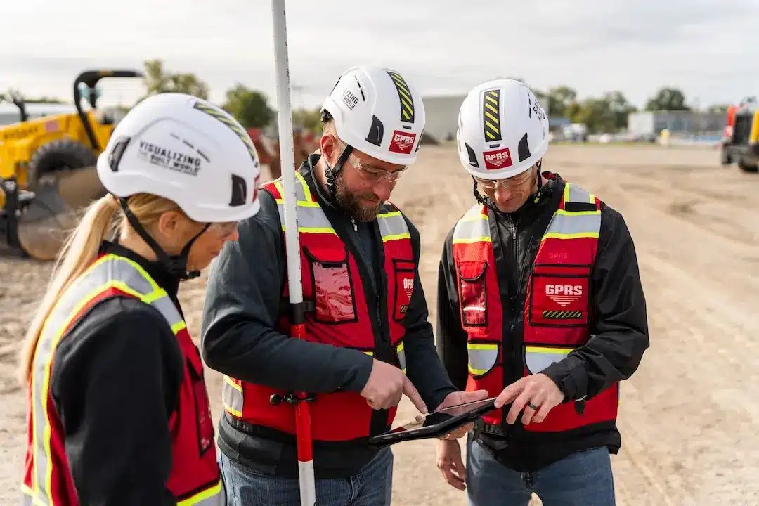
SiteMap® is the only platform backed by the amazing power and accuracy of GPRS. This gives a leverage that no other platform can offer. At Ground Penetrating Radar Systems, safety and accident prevention are our top priorities in every aspect of the work we do. Safety is so much so at the forefront of our focus that it is one of our company’s core values and a significant part of our company’s culture.
We are firm believers in continuous safety education for all our employees. Our ongoing commitment to the health and safety includes the following safety practices:
- OSHA 10-Hour Outreach – completed by every project manager
- OSHA 30 – completed by many of our area managers
- HAZWOPER 40 Hour – completed by many of our project managers nationwide
- Hazard recognition and safety training – provided monthly for all employees
- Toolbox talks
- Near miss/incident reporting and investigations – safety stand downs
- Site specific safety planning
- Pre-task planning and job hazard review for every project
- New hire safety orientation and training
- Safety manual consistently reviewed and updated to ensure compliance with the most rigorous construction standards
- And of course the industry-leading Subsurface Investigation Methodology (SIM), that GPRS’ accuracy rate is built on
GPRS’ focus on safety has earned an impressive record. Our 2018-2019 Experience Modification Rate of 0.47 is substantially better than the industry standard of 1.0.
By association, SiteMap® is benefiting from the great safety benefits that start with GPRS. SiteMap® allows project managers to completely understand their job site, helping prevent utility strikes and possible fatalities. SiteMap® is impacting infrastructure mapping by making the practice and the outcome of managing utilities safe and effective. This safety starts with proper training and high accuracy utility locating, provided by GPRS.
Connecting & Communicating

Communication is crucial, especially when the quality of your comms could result in life or death situations. Utility strikes are common, and serious, with 400,000 to 500,000 utility strikes occurring per year according to the Common Ground Alliance. The best way to prevent utility strikes is properly and accurately communicating infrastructure data.
SiteMap® breaks down barriers by giving access to easy-to-understand maps and information. You don’t need any extra training to understand SiteMap®, anyone is able to use it! SiteMap® creates a single source of truth, keeping everyone on the same page. SiteMap® helps users and their team stay connected and informed in a variety of ways:
- The Digital Plan Room acts as your data repository. You can see every file and map on any GPRS locating job.
- The Map Viewer allows you to eliminate confusing communications by stripping away all the layers your contractors don’t need to show them exactly what they need to see, when they need to see it.
- All your subsurface infrastructure data can be aggregated, located and cross-referenced to provide a single source of truth for your team to reduce risk, damages and miscommunications. (Aggregated historical data available in Pro and Team subscriptions)
- Put everyone on the same page with a single source of truth that is accessible to those who need it for the life of your project, 24/7 from any computer or mobile device
- Own & access all of your project data, whether ordered by you or your subcontractors. If GRPS did the work, you can see it all in SiteMap®
- Strip away confusion by providing customized communication that reinforce each team member’s individual objectives with specific geographically segmented data
- Print, save, or copy your SiteMap® data to communicate real-time subsurface as built information in whatever format suits your needs
- Retain and access every iteration of your digital as builts to securely document and reference your project’s progress
- Protect your jobsite, your team, your budget, and your reputation with GPRS’ 99.8% accurate subsurface data to prevent utility strikes and damages that could derail your timeline
- You can document construction progress with our Progressive Capture (ProCap) service which utilizes 3D photogrammetry or 3D laser scanning to track the evolution of the site and document key project milestones
- Virtual Tours like WalkThru 3D allow you to virtually walk-through a site or facility in minutes
SiteMap® is revolutionizing the way utilities map, monitor, and manage their infrastructure assets. By streamlining data collection, providing high-resolution mapping, and more, As project managers continue to face challenges related to aging infrastructure, climate change, and rapid urbanization, SiteMap® will play an increasingly important role in helping them navigate these complexities and build resilient infrastructure systems for the future. Much like Tomlinson, SiteMap® is solving a common problem in a smart way.
See the subsurface simply with SiteMap®, contact us today.