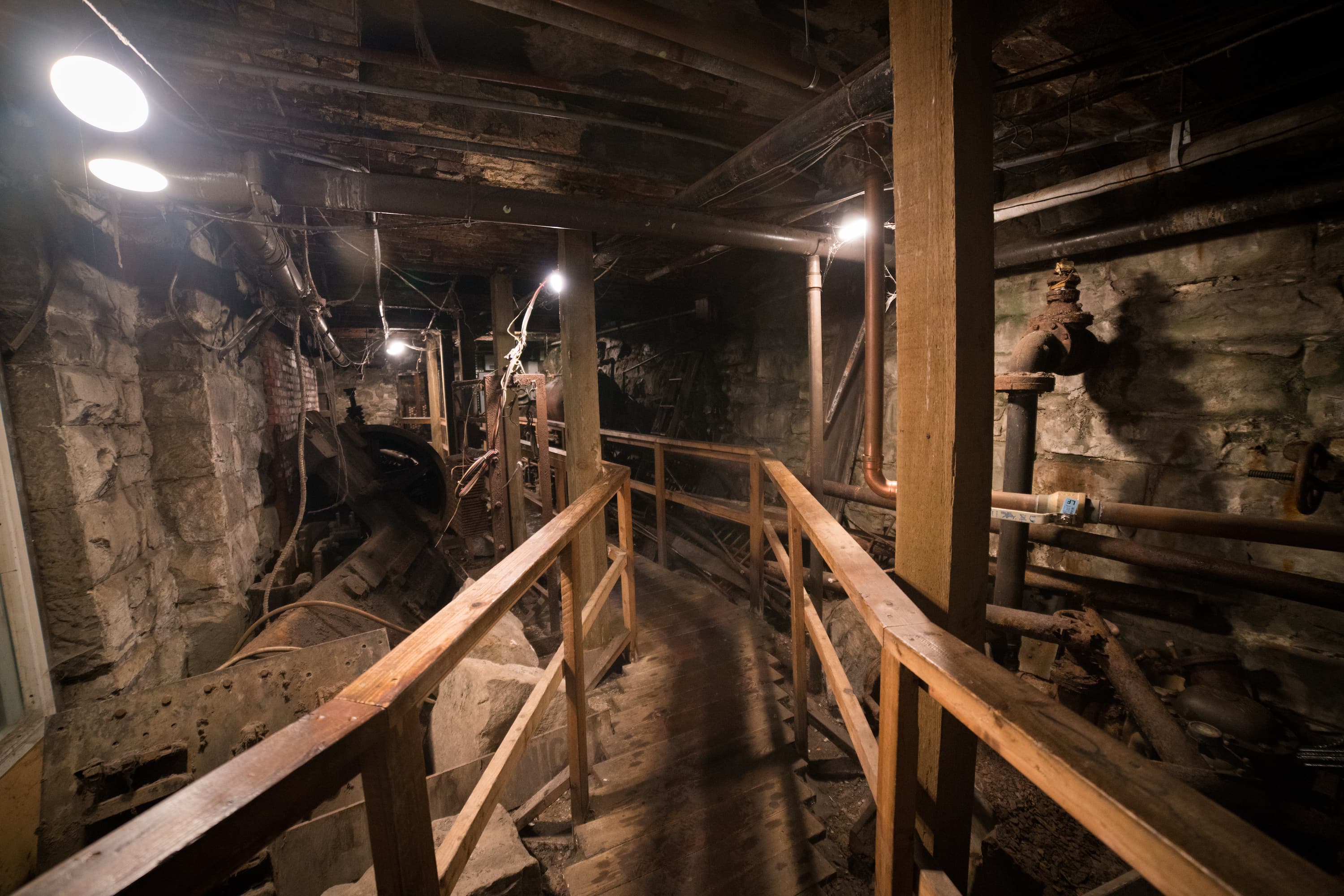
Facility management and construction have long grappled with the complexities of mapping and maintaining utility infrastructure. Most people never give second thought to the city below their feet. That is, unless you live in Seattle, where you’re able to tour the buried underground city that is almost as impressive as the city above. This underground city is a result of a fire in the late 1800s, leaving the old city behind and buried below the new one.
However, for most cities, seeing what’s below isn’t as easy as meeting up at the totem pole and having a quick pop down underneath it all. This is where SiteMap® (patent pending) powered by GPRS, shines, offering essential tools and resources to keep facility managers, utility companies, and construction workers ahead of the curve.
What are the nuances of SiteMap’s Personal Tier features and numerous benefits? How can you implement the features and platform effectively? SiteMap® does more than just underground utility maps and is more than just a utility mapping app or utility infrastructure management tool, it’s an all in one solution for a universal problem, changing the way we see and build one site at a time.
Understanding SiteMap® Personal Features
The features of SiteMap® Personal are designed to offer individuals and smaller teams scalpel-like precision in managing and mapping utilities. This subscription tier is what every GPRS customer receives when they order a utility locate job from GPRS. But what exactly does this tier bring to the table, and why should industry professionals care?
Key Features of SiteMap® Personal
Feature 1: Easy Utility Visualization
- Explanation and Benefits:
Easy to understand utility visualization allows users to see underground utility maps accurately overlaid onto their job sites. This data is perfectly visualized, aggregated, labeled, and is easier than ever to understand. This helps prevent costly damages, reduces the risk of accidents, and ensures compliance with safety regulations. Anyone can easily see their site, and the important subsurface and above ground features it contains. No extra training is required.
Feature 2: Collaborative Project Tools
- Explanation and Benefits:
SiteMap’s collaborative project tools facilitate seamless communication across teams. Share maps and other data in real-time to ensure everyone is on the same page. About 75% of employees rate teamwork and collaboration as being very important. Further, 86% of employees in leadership positions blame lack of collaboration as the top reason for workplace failures.
Whether you’re using the mobile app or the website, sharing your project data via SiteMap® is easy. However, if you need to give administrative access to a large team, you’ll probably want to look at SiteMap® Team, which allows you to provide access to your entire management team. Don’t want to make the upgrade? SiteMap® Personal still allows you to easily view and print your map data. This may not be as efficient as sharing the app with your team, but still gives your team access to the same 99.8% accurate GPRS backed data and easy to understand visualizations.
Feature 3: Break It Down: Aggregation and Layers
- Explanation and Benefits:
It’s said that most people are like onions with many different layers. It turns out that our subsurface is pretty similar, and sometimes these layers get crossed. SiteMap® carefully aggregates and layers your data, with each portion being visualized in a different way, such as color-coded utilities with gridlines, northing and easting lines, and a map legend. This allows you to toggle between layers, giving you a comprehensive view of the site and allowing for the best understanding of the project. Viewing the big picture is as simple as hitting a button, and viewing just the smaller details is just as simple too. See your data as you need to see it, when you need to see it, in a way that makes sense.
Implementing SiteMap® Personal Features
To fully leverage the benefits of SiteMap® Personal, facility managers and field workers could adopt certain practices. Here are some pointers for effective implementation:
- Familiarize Your Team: Ensure that all team members are ready to use SiteMap® and its features effectively. No extra training is required, but it is always recommended that you give your team a few moments to look over the data at hand. While sharing capabilities are limited with this tier, project managers can still print out the visualizations for their team.
- Integrate into Workflow: Incorporate utility mapping and real-time visualization into your standard operating procedures. For those who are used to doing it the hard way, the easy way may be a little cumbersome at first, especially for the stubborn or the old-time professionals who have watched the industry change rapidly over the last half century. Allowing your team some time to familiarize themselves with the technology is the best way to ease into workflow implementation. SiteMap® is easy to use and easy to understand, celebrated by professionals across the nation.
- Encourage Collaboration: Utilize the app’s collaboration features to streamline communication and project management. This may not be as easy to do with Personal, but these features open up greatly with other tiers. With Personal, limited sharing capabilities still allow for a greater sense of collaboration among team members.
By considering these aspects, those working in facility management, utility companies, and construction can enhance operational efficiency and safety on the job.
Why Use SiteMap®
There are many GIS systems out there, and all of them make their own promises. SiteMap® is unique because GPRS is the only company who puts over 500 pairs of boots on the ground, nationwide, carefully monitoring and recording the subsurface of your site with some of the best technology that science has to offer thus far.
GPRS has a 99.8% accuracy rating across 500,000 jobs across the nation. We make seeing the subsurface simple, and we do so with accuracy and innovation, one site at a time.
What are the other benefits of using SiteMap® for your project?
SiteMap® offers users a convenient way to experience facility and location data. Additionally, this geospatial solution functions as a digital storage platform for blueprints, as-built drawings, maintenance records, and permits.
How will SiteMap® Improve your Facility Management?
- Accurate and up to date-as-built drawings in one place
- Cloud-based digital plan room
- Intuitive and easy-to-use portal
- Made-for-everyone app that was created specifically for SiteMap® and those on site
- Permanent record of site assets
- Infrastructure knowledge
- Safety excavations, saw cutting and core drilling
SiteMap® grants a unified view of all users’ information, whether they have one building or multiple facilities across the United States, making it easy to manage projects, stay coordinated, and prevent utility strikes.
SiteMap’s Personal Tier features offer a robust set of tools for managing underground utility infrastructure. Whether used for navigating complex utility maps or for fostering team collaboration on large-scale projects, the impact of these features on facility management is undeniable.
SiteMap® -The simple way to see the subsurface. Contact us today to learn more.