The average depth of the ocean floor bed is just over 12,000 feet. The deepest part of the ocean is called the Challenger Deep, and it’s estimated to run 35,867 feet deep. The world below our feet is vast, from the ocean to the soil beneath your favorite geraniums. One of the greatest challenges lies beneath the surface – navigating the complex network of underground utilities. Accidental damage to buried pipes, cables, or conduits can result in costly delays, safety hazards, and environmental concerns. To mitigate these risks, industry professionals rely on advanced technologies such as digital utility mapping software. Among these solutions, SiteMap® (patent pending), powered by GPRS, stands out as a comprehensive tool for interactive underground utility mapping.

The Mariana Trench, located in the western Pacific Ocean, is the deepest known point on Earth, reaching depths of over 36,000 feet (10,972 meters), deeper than the height of Mount Everest.
Understanding Digital Utility Mapping
Digital utility mapping involves the creation of detailed maps and databases that depict the location, type, and characteristics of underground utilities. This information is crucial for project planning, design, construction, and maintenance activities. Traditional methods of utility mapping, such as manual surveys or paper-based records, are often time-consuming, inaccurate, and prone to errors. Digital utility mapping leverages technologies such as Geographic Information Systems (GIS), Global Positioning Systems (GPS), and Ground Penetrating Radar (GPR), among others, to provide precise and up-to-date information about subsurface infrastructure.
The History of Modern Underground Utility Mapping
The history of underground utility mapping can be traced back to the early 20th century when urbanization and industrialization spurred the need for more comprehensive infrastructure networks. Initially, utility mapping primarily relied on manual methods such as hand-drawn maps, paper records, and physical surveys to document the location of underground assets. However, these methods were labor-intensive, prone to errors, and lacked the ability to provide real-time updates. The advent of technologies such as Ground Penetrating Radar (GPR), electromagnetic induction, and Geographic Information Systems (GIS) in the latter half of the 20th century revolutionized utility mapping by enabling more accurate and efficient data collection and analysis.
These advancements paved the way for the development of digital utility mapping solutions, which utilize sophisticated sensors, GPS technology, and computer software to create detailed maps and databases of underground infrastructure. Today, underground utility mapping has become an integral part of construction, engineering, and urban planning projects, playing a vital role in ensuring the safety, efficiency, and sustainability of our built environment.
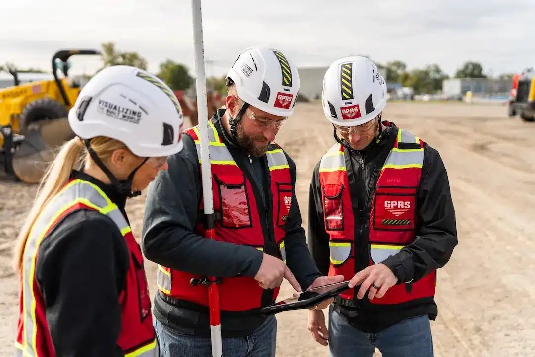
The process, as we know it today, can be accurate enough to support SUE (subsurface utility engineering) at level QL-B. While GPRS doesn’t offer SUE, how we use our technology can support surveyors in some ways.
The Development of SUE
Subsurface Utility Engineering (SUE) originated in the early 1980s as a response to the inadequacies of traditional methods in handling subsurface utilities. Historically, projects were often designed without thorough consideration of underground utilities, leading to challenges during construction such as unnecessary relocations, delays, and unexpected encounters. Recognizing the need for a more proactive approach, engineers sought to combine emerging technologies – namely air/vacuum excavation and surface geophysics – to accurately map subsurface utilities early in project development.
Air/vacuum excavation emerged as a safer alternative to traditional trenching methods, particularly in highway construction, where the risk of damaging utilities posed significant safety concerns. By exposing subsurface utilities prior to excavation, the potential for accidents, injuries, and property damage was significantly reduced. Consequently, the adoption of vacuum excavation garnered considerable interest among forward-thinking professionals in the highway industry.
Simultaneously, surface geophysics emerged as a complementary solution to address the limitations of vacuum excavation alone. Recognizing the inherent challenges in relying solely on utility records – often inaccurate or incomplete – early proponents of SUE understood the importance of utilizing advanced surface geophysical equipment to accurately locate subsurface utilities horizontally. By leveraging emerging geophysical technologies, SUE pioneers aimed to provide precise and reliable data to inform decision-making processes in infrastructure development projects.
The Late 1980s
In the late 1980s, the significance of Subsurface Utility Engineering (SUE) began to resonate with highway engineers, marking a pivotal moment in its adoption. The Virginia Department of Transportation emerged as a trailblazer, becoming the first state agency to integrate SUE into its regular operations. Subsequently, its implementation spread to neighboring states such as Maryland, Delaware, and Pennsylvania, signifying a growing recognition of its benefits across the transportation sector.
Additional facets of SUE emerged, including surveying subsurface information, data management, and integration with clients’ Computer-Aided Design and Drafting (CADD) systems or project plans. This expanded scope underscored the importance of SUE as a comprehensive service offering, encompassing not only utility identification but also data management and project coordination.
Furthermore, the late 1980s saw significant developments in the professionalization of SUE practices. Key initiatives included the sealing of deliverables and the procurement of professional liability insurance, which positioned SUE as a recognized professional service rather than merely a contractor service. These measures aimed to uphold industry standards, enhance accountability, and mitigate potential risks associated with utility-related projects.
In 1989, a pivotal moment occurred at the First Annual National Highway Utility Conference in Cleveland, where the term “Subsurface Utility Engineering” was introduced to a national audience as an umbrella term for the process formerly known as “Designating and Locating.” This designation quickly gained traction and was abbreviated to “SUE,” cementing its place as a foundational practice in infrastructure development and utility management.
Brief Breakdown
- 1982–SUE developed
- 1985– First statewide SUE contract with Virginia Department of Transportation
- 1986– First statewide UC contract with Virginia Department of Transportation
- 1991– FHWA began promoting SUE
- 2002– Standard ASCE 38-02 was adopted by American Society of Civil Engineers
- 2018– 38+ State DOTs using Statewide\DistrictWide\Region-Wide UES Services
- 2022–Anticipated the release of Standard ASCE 38-22
Understanding SiteMap®
SiteMap® is a cutting-edge utility mapping app developed to streamline the process of underground utility management. Designed for professionals in the construction, engineering, and utility sectors, SiteMap® offers a range of features and functionalities tailored to meet the diverse needs of users.
Key Features of SiteMap®
Interactive Mapping Interface
SiteMap® provides users with an intuitive and user-friendly interface for visualizing underground utilities with ease. The interactive map allows users to zoom in, pan, and overlay different layers of utility data, providing a comprehensive view of the subsurface environment. Whether it’s water lines, sewer pipes, gas mains, or electrical cables, SiteMap® helps users identify and analyze underground assets with ease.
Data Integration and Collaboration
SiteMap® allows seamless data portability with existing GIS databases, CAD drawings, and utility records, ensuring compatibility and data interoperability. Depending on your subscription level, users may have the ability to upload, edit, and share utility information in a centralized platform, facilitating collaboration and communication among project stakeholders. With SiteMap®, teams can access the latest updates and revisions from their favorite device, reducing the risk of conflicts or discrepancies during construction activities.
Mobile Accessibility
SiteMap® is available as a mobile application, allowing users to access utility maps and data directly from the field. In fact, SiteMap® was designed with mobile in mind. Equipped with advanced technology, the app enables users to understand their location and navigate underground infrastructure with precision. Field personnel can view annotated maps, read observations, and view photographs on-site, enhancing data accuracy and efficiency. SiteMap® empowers users to make informed decisions and respond quickly to changes or emergencies, regardless of their location.
Benefits of SiteMap®
Improved Safety
By providing accurate and up-to-date information about underground utilities, SiteMap® helps mitigate the risk of accidental damage or excavation-related incidents. Users can identify potential hazards, such as buried gas lines or high-voltage cables, and take appropriate precautions to ensure safety on the job site. With SiteMap®, safety becomes a top priority, protecting workers, assets, and the surrounding environment. This safety is supported by GPRS’ 99.8% accuracy rating, providing accurate data across more than 500,000 jobs nationwide.
Cost Savings
SiteMap® minimizes costly errors and rework associated with utility conflicts, clashes, or relocations during construction projects. By optimizing excavation activities and avoiding utility strikes, users can reduce downtime, delays, and repair expenses. The ability to plan and coordinate utility work more efficiently translates into significant cost savings over the lifecycle of a project. SiteMap® helps maximize productivity and profitability, enabling projects to stay on schedule and within budget.
Regulatory Compliance
SiteMap® facilitates compliance with regulatory requirements and industry standards for underground utility management. Users can use SiteMap® to help generate reports, documentation, and as-built drawings to demonstrate adherence to safety regulations and permit conditions. SiteMap® also supports efforts in asset inventory tracking, maintenance scheduling, and historical record-keeping, ensuring accountability and transparency throughout the project lifecycle.
SiteMap® represents a change in the way we navigate and manage underground utilities. SiteMap® offers an advanced, easy-to-use solution for interactive underground utility mapping, enabling users to visualize, analyze, and manage subsurface infrastructure with unprecedented accuracy and efficiency. Whether it’s planning a construction project, conducting maintenance activities, or responding to emergencies, SiteMap® empowers professionals to make informed decisions and achieve optimal outcomes. With SiteMap®, the path beneath the surface becomes clearer, safer, and more manageable.
Are you looking for a comprehensive mapping solution suitable for just about any job? Contact us today.