Accurate and Collaborative Data Sharing with SiteMap: 3D Laser Scanning for Overhead Clearances
In infrastructure, construction, and transportation projects, precise overhead clearance measurements are essential to ensure safety and efficiency. One of the most effective methods for capturing these measurements is 3D laser scanning. GPRS’ SiteMap® platform (patent pending) enhances the value of this technology by providing a centralized hub where professionals can securely access, share, and analyze high-quality data in real-time, promoting seamless collaboration across teams.
Why 3D Laser Scanning Matters for Overhead Clearances
Accurate overhead clearance measurements are critical to preventing accidents, particularly for equipment operators. According to OSHA, nearly 30% of crane-related accidents result from contact with overhead power lines, leading to fatalities. Properly identifying and documenting overhead obstructions, such as wires, utility poles, and tree branches, is vital for minimizing these risks. With GPRS’ 3D laser scanning technology, this process is not only safe but also precise and efficient.

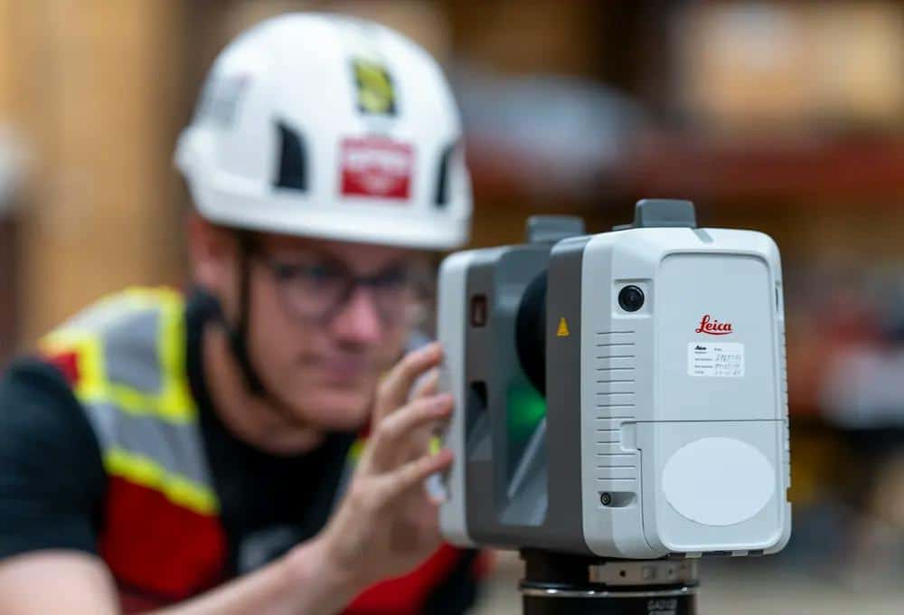
A 3D laser scanner can capture up to 2 million data points per second with 2-4mm accuracy, making it an efficient existing conditions capture tool for prefabrication design purposes.
How 3D Laser Scanning Works
- Laser Scanning: GPRS uses advanced LiDAR technology to emit laser beams that bounce off surfaces and return to the scanner. This process creates a point cloud—a dense collection of data points representing the 3D space.
- Data Capture: GPRS Project Managers strategically position the 3D laser scanner at various locations around the site. The scanner collects thousands of data points at each position, ensuring complete and accurate spatial information. The scanner can capture up to 2 million data points per second.
- Point Cloud Processing: The gathered data points are processed through specialized software to generate highly detailed 2D drawings and 3D models. These models allow for comprehensive analysis, including overhead clearance calculations.
- Clearance Analysis: The processed data enables engineers and contractors to measure overhead clearances with remarkable precision. Simulations can also be run to assess whether vehicles and equipment can pass safely through the space.
The Power of Collaboration with SiteMap®
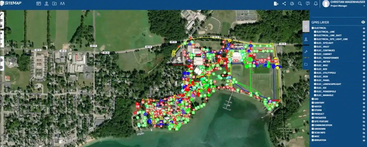
What sets GPRS 3D laser scanning apart is how its data is integrated into the SiteMap® platform. SiteMap® enables teams to securely access and share data anytime, from anywhere, via mobile devices, tablets, or computers. This capability ensures that everyone involved in a project can collaborate in real time, making informed decisions faster and more efficiently. With a layered data structure, SiteMap® provides a comprehensive view of the entire project site, allowing professionals to visualize overhead clearances alongside other critical site details like utility locations.
Benefits of 3D Laser Scanning for Overhead Clearances
- Unmatched Accuracy: GPRS delivers precise measurements of overhead obstructions by collecting data from thousands of points, rather than relying on a few sample locations. This level of accuracy is essential for avoiding costly errors during construction or maintenance.
- Speed and Efficiency: Compared to traditional methods, 3D laser scanning significantly reduces the time needed for data collection. This accelerated process allows projects to stay on schedule, without sacrificing accuracy.
- Enhanced Visualization: The 3D models and 2D drawings generated from laser scans provide a detailed and comprehensive visualization of the site, which aids in planning and operations.
- Risk Mitigation: By accurately identifying potential overhead obstructions, 3D laser scanning helps teams address issues before they become costly or dangerous problems, thereby improving site safety.
Applications of 3D Laser Scanning for Overhead Clearances
- Infrastructure Projects: 3D laser scanning is used for the maintenance and inspection of bridges, tunnels, and overpasses to ensure they meet required clearance standards.
- Construction: It verifies that new buildings and structures adhere to design specifications and clearance requirements.
- Transportation: The technology helps ensure roads and railways are clear of obstructions, allowing safe passage for vehicles and trains.
- Power Line Safety: Workers rely on laser scanning to maintain safe distances from overhead power lines, in accordance with OSHA guidelines, helping prevent electrical hazards.

GPRS’ Accurate Deliverables through SiteMap
GPRS Project Managers use 3D laser scanning technology to capture overhead clearances and site dimensions with millimeter-level precision. These accurate deliverables can include aboveground structural and architectural details, as well as mechanical, electrical, and plumbing (MEP) features. The data is processed into point clouds, 2D CAD drawings, or 3D BIM models, tailored to meet the specific needs of the project. Through SiteMap®, this data is easily accessible to all team members, ensuring consistent accuracy across every phase of a project.
Customized Solutions for Every Project
At GPRS, every laser scanning project is tailored to the client’s specific needs. Our Mapping & Modeling team can provide data in various formats, including TruViews and virtual tours, ensuring that the deliverables meet your exact project requirements.
For professionals in infrastructure, construction, and transportation, GPRS’ 3D laser scanning and the SiteMap platform offer the precision and collaborative tools necessary to streamline operations, enhance safety, and stay ahead of potential challenges.
See the Value GPRS Can Provide
With GPRS’ 3D laser scanning and SiteMap, you gain not only accurate data but also a powerful tool for real-time collaboration. Contact us today for a demonstration that will show you how we can help you visualize your next project with precision and confidence.
If you would like a complimentary demonstration of SiteMap’s capabilities for your facility or organization, click below.
