Tardigrades, also known as “water bears,” are microanimals that can be found virtually everywhere on earth. They thrive in almost any condition you throw at them, making them one of the most resilient animals in the world. Tardigrades can withstand extreme temperatures, dehydration, and starvation. They are so resilient that they can survive in outer space!
Resilience is arguably the most necessary trait for innovation, it is the backbone of civilization; and the resilience of infrastructure assets is critical for ensuring the stability and sustainability of communities. Infrastructure assets: utilities like water and sewer lines, electrical grids, and telecommunications networks make up the circulatory system on which communities of all sizes rely. So, they must be effectively managed to withstand various challenges, from natural disasters to rapid urbanization. SiteMap® (patent pending), powered by GPRS, stands as a powerful tool that revolutionizes infrastructure asset management by offering interactive underground utility maps backed by the 99.8% accuracy of GPRS locating services. How does SiteMap® help communities and facilities embrace their inner tardigrade, empowering organizations to build resilience into their infrastructure assets?
The Importance of Resilient Infrastructure Asset Management
Just like with an animal, or a human body, resilience is crucial for progress. Without resilience, civilization would fail, crumble, and deteriorate, especially in face of disaster. The U.S alone has seen many devastating and historic natural disasters over the past ten years, including the never-seen-before, 2023 snowstorms in California and the furious, incendiary Canadian wildfires in 2023. In the time following these disasters, local governments had to step up to rebuild their community and bounce back.

Smoke from Canadian Wildfires Covers Washington, DC.
Starting with a string of hurricanes and wildfires in 2017, the United States has endured devastating disasters every year since:
- In 2022, 68,988 wildfires burned 7.6 million acres. Over 40% of those acres were in Alaska (3.1 million acres)
- The U.S recorded 1,331 tornadoes in 2022
- In 2022, disasters each caused at least $165 billion in damage and economic losses
The need for disaster-resilient infrastructure is real, and needs to be addressed as soon as possible. The Biden administration announced a record injection of money designated to help communities guard against the effects of climate change in 2021, this resulted in a total of $3 billion in funds for community disaster resilience that continues to be distributed.
FEMA funds from Washington are now being dedicated towards combating climate change with an additional $1 billion in grants for states to protect against national disasters such as floods, wildfires and and more. These funds are set to improve the resiliency of infrastructure. Homeowners should also take note, according to federal research, a dollar spent to prepare for disaster saves an average of $6 dollars later.
Resilient infrastructure asset management is essential for ensuring the continued functionality and reliability of critical systems in the face of adversity. Here’s why building resilience in infrastructure assets is crucial:
Risk Mitigation: Resilient infrastructure assets are better equipped to withstand and recover from various risks, including natural disasters, climate change impacts, and cybersecurity threats.
Service Continuity: Resilient infrastructure assets ensure the continuity of essential services, such as water supply, energy distribution, and communication networks, even during emergencies or disruptions.
Cost Efficiency: Investing in resilient infrastructure assets can lead to long-term cost savings by reducing the frequency and severity of repairs, replacements, and service interruptions.
Sustainability: Resilient infrastructure assets promote sustainability by minimizing resource waste, environmental impacts, and social disruptions, contributing to the overall well-being of communities.
Climate Change and Resilient Infrastructure
Whether climate change is something that you believe in or not, the effects of climate change are happening. These changes are bringing significant impacts that will affect the way infrastructure is designed and constructed. On Aug. 9, 2021, the United Nations’ Intergovernmental Panel on Climate Change released its latest report. The report, titled “Climate Change 2021: The Physical Science Basis” warns that climate change “is widespread, rapid, and intensifying.” This report was prepared by 234 scientists from 66 countries, and declared that human-induced climate change “is already affecting many weather and climate extremes in every region across the globe … in the atmosphere, in the oceans, (in) ice floes, and on land.”
U.N. Secretary-General António Guterres described the report as “a code red for humanity.” Some of the findings included in the report were:
- In 2019, concentrations of atmospheric carbon dioxide were higher than at any time in at least 2 million years.
- Concentrations of methane and nitrous oxide, two other important GHGs, were higher than at any time in the last 800,000 years.
- The global surface temperature has increased faster since 1970 than in any other 50-year period over at least the last 2,000 years.
- The global mean sea level has risen faster since 1900 than over any preceding century in at least the last 3,000 years.
- By 2021, human activities caused emissions of GHGs that were responsible for approximately 1.2 degrees Celsius of warming above preindustrial levels.
- Over the next 20 years, the average increase in global temperature is expected to reach or exceed 1.5 degrees Celsius.
The fact is that while our infrastructure has already been designed to be resilient, it’s only resilient for occurrences that we’ve dealt with thus far. Infrastructure needs to become resilient to face the changes and challenges that are due to develop over the next 20-50 years.
Climate change forces civil engineers to work in “uncharted territory,” says William A. Wallace, ENV SP, F.ASCE, a former senior vice president at CH2M Hill. Facing new, uncharted, and sometimes extreme conditions, civil engineers tend to respond by strengthening and trying to protect infrastructure assets from damage, Wallace notes. And while such an approach “still needs to be part of the engineer’s toolkit,” he says, “the fact that they are in uncharted territory calls for new thinking.”
One obstacle civil engineers face in trying to design infrastructure that is resilient to the impacts of climate change is the fact that most codes and standards do not take climate change into account. If considerations of the impacts of climate change can be added to codes and standards, “engineers will be obliged to use them in their decisions,” points out Michele Barbato, Ph.D., P.E., CEng, F.SEI, F.ASCE, a professor of structural engineering in the civil and environmental engineering department at the University of California, Davis. Barbato is also co-director of the university’s Climate Adaptation Research Center.
While this sounds like a mountainous task, and it is, civil engineers are in an “enviable position” and face the “opportunity of a lifetime,” says Wallace. They have an opportunity to help rewrite the rules, such rules that form the core of our codes and standards. Wallace says, “Engineers can reduce infrastructure project risk, applying their unique knowledge and experience to determine what solutions could work and what won’t work.”
The best way to change the page and produce resilient infrastructure is by learning. The infrastructure itself isn’t the only reward, as research indicates that every dollar spent on resiliency will generate a return on investment of $4 to $11, with a median of $6.
The Role of SiteMap® in Building Resilience
SiteMap® plays a crucial role in building resilience in infrastructure assets by offering advanced tools and features for mapping every facet of infrastructure for facilities, communities, and municipalities, nationwide. SiteMap® enables organizations to enhance the resilience of their infrastructure assets in many ways:
Interactive Underground Utility Maps
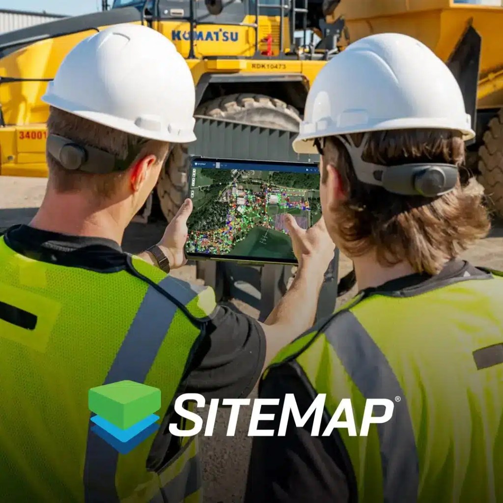
SiteMap® provides interactive underground utility maps that allow users to visualize, analyze, and manage underground infrastructure assets with ease. With the help of GPRS, one may even visualize above ground facilities with a virtual tour. Virtual Tours like WalkThru 3D allow you to virtually walk-through a site or facility in minutes, take basic measurements, estimate clearances and distances, and add digital notes.
By offering a user-friendly interface and intuitive navigation tools, SiteMap® enables organizations to access critical information about utilities and their site quickly and efficiently.
Interactive underground utility maps empower organizations to identify potential risks, plan maintenance activities, and respond to emergencies in real-time, enhancing the resilience of their infrastructure assets, while also allowing more resilient infrastructure to be built and planned with the proper information, and less risk.
Easy Sharing
Keeping your team updated and on the same page is crucial when developing or maintaining resilient infrastructure. By utilizing SiteMap®, project managers can share necessary information and data easily, from anywhere in the world. Your team can reference a single source of truth from any mobile device, 24/7. Own & access all of your project data, whether ordered by you or your subcontractors; if GRPS did the work, you can see it all in SiteMap®
Exceptional Accuracy
Most damage is avoidable when you control data flow with 99.8% accurate subsurface infrastructure information that can be aggregated to provide both updated as builts and historical records. GPRS has maintained a 99.8% accuracy rate over 500,000 jobs nationwide, making us one of, if not the most accurate utility locating providers in the country.
Layered & Aggregated
Your 99.8% accurate GPRS subsurface visualizations and data can be aggregated to provide an instant snapshot – past, present & future – secured in one centralized, accessible database. Further, your data and visualization is layered, mapped, and cross-referenced and can be updated as needed to ensure accurate subsurface as-builts. Certain features are available only at certain tiers: all GPRS customers are given a complimentary SiteMap® Personal account, with the option to upgrade.

Building Resilience with SiteMap®: An Innovative Approach
SiteMap® enables organizations to adopt an innovative approach to building resilience in their infrastructure assets by combining interactive underground utility mapping with their own intelligence and data. Through SiteMap® you can expect:
Comprehensive Data Management: SiteMap® provides a centralized platform for storing, managing, and analyzing infrastructure asset data, ensuring data integrity, accessibility, and security.
Collaborative Planning: SiteMap® facilitates collaboration and information sharing among stakeholders, enabling organizations to develop coordinated strategies for enhancing the resilience of their infrastructure assets.
The Full Picture: SiteMap® allows project managers and their teams to see their site in a different, more substantial way. GPRS goes deeper, providing 99.8% accurate subsurface utility information that helps teams see the full picture. When you use SiteMap®, you take a step out of the box, looking at the subsurface in a new, interactive way. This fosters the kind of innovation required to build new resilient infrastructure.
SiteMap® serves as a powerful tool for building resilience in infrastructure offering GIS utility mapping capabilities. With SiteMap®, organizations can visualize, analyze, and manage their infrastructure assets with unprecedented precision and efficiency, which aids in enhancing resilience in a changing, unpredictable world. SiteMap® empowers organizations to build resilient infrastructure assets that can withstand the inevitable challenges of the future.
Are you looking for ways to support your path to resilience? Contact SiteMap® today to learn more about our many services.

